With the Openlands Get Outside Map, discover places and ways to enjoy nature in the Chicago region.
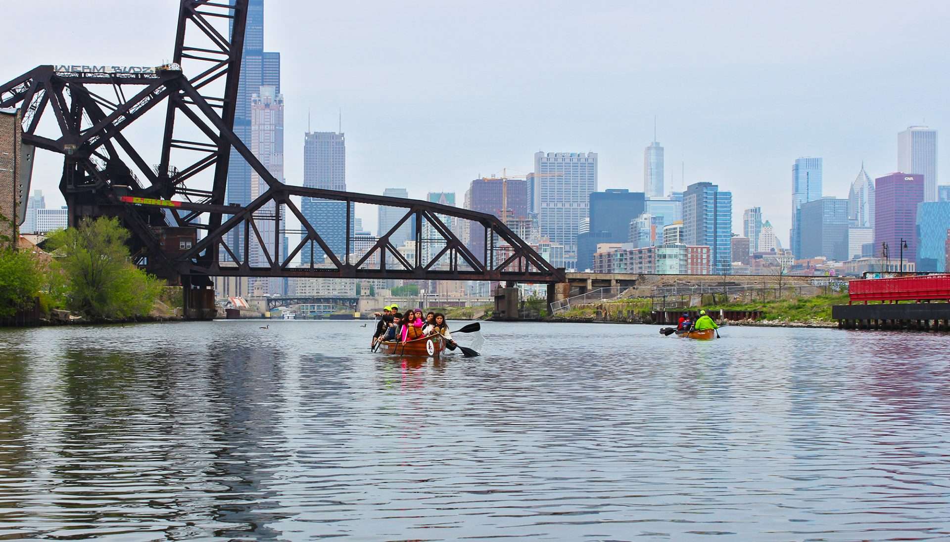
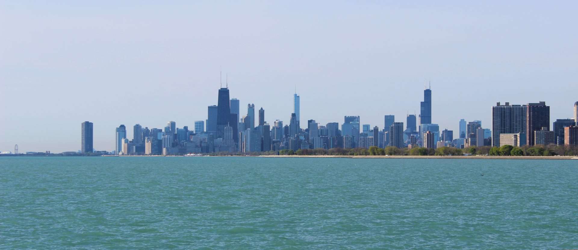
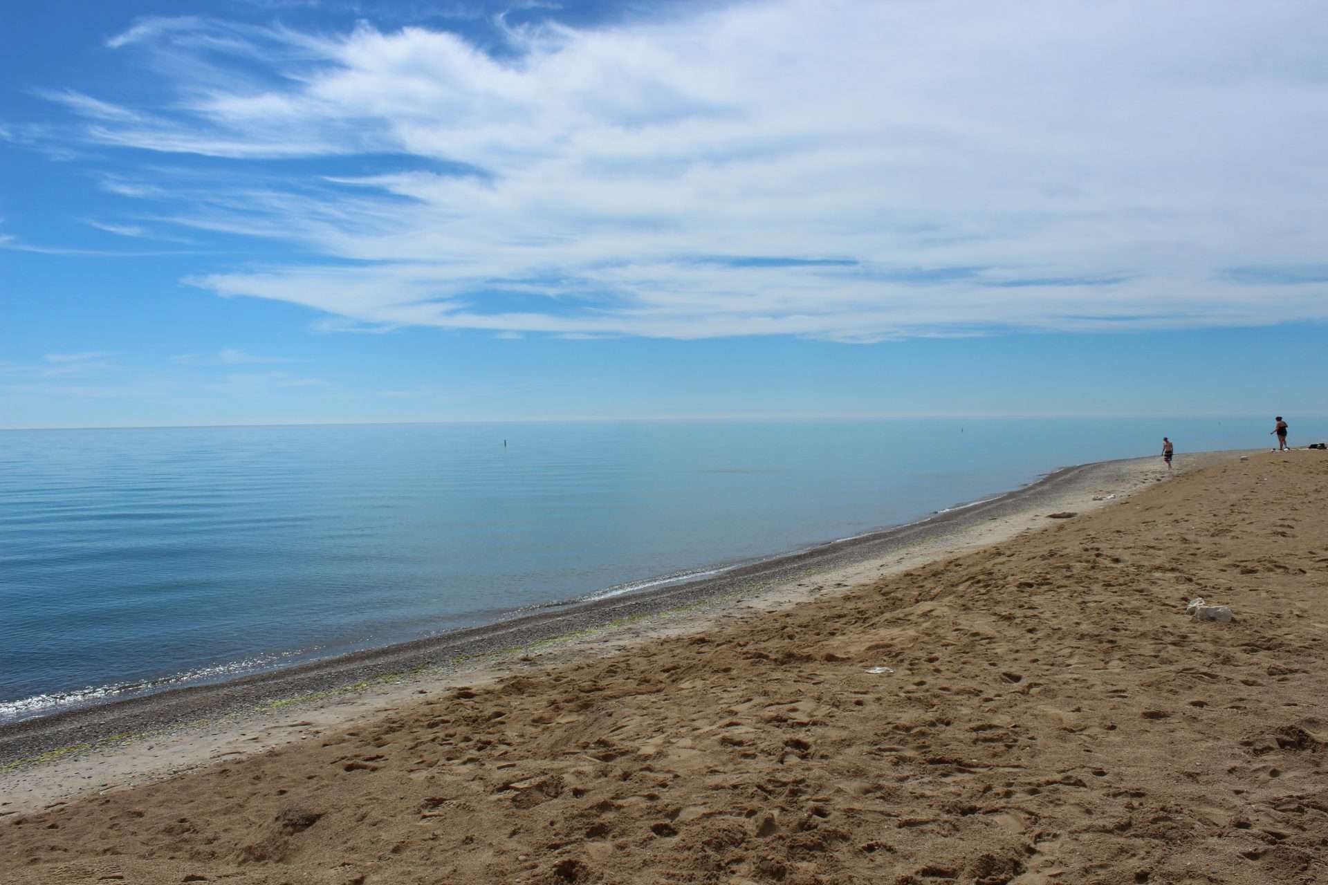
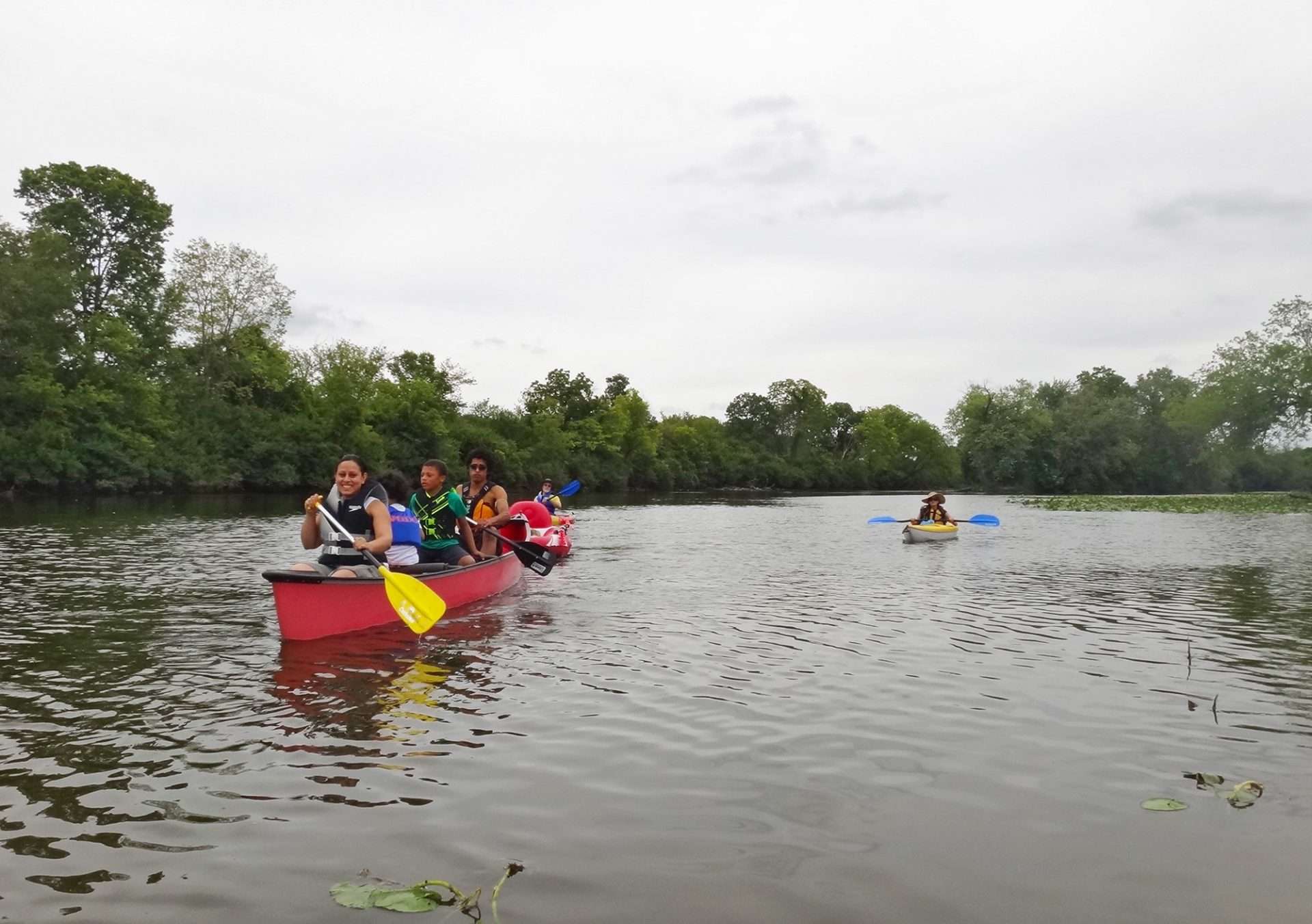
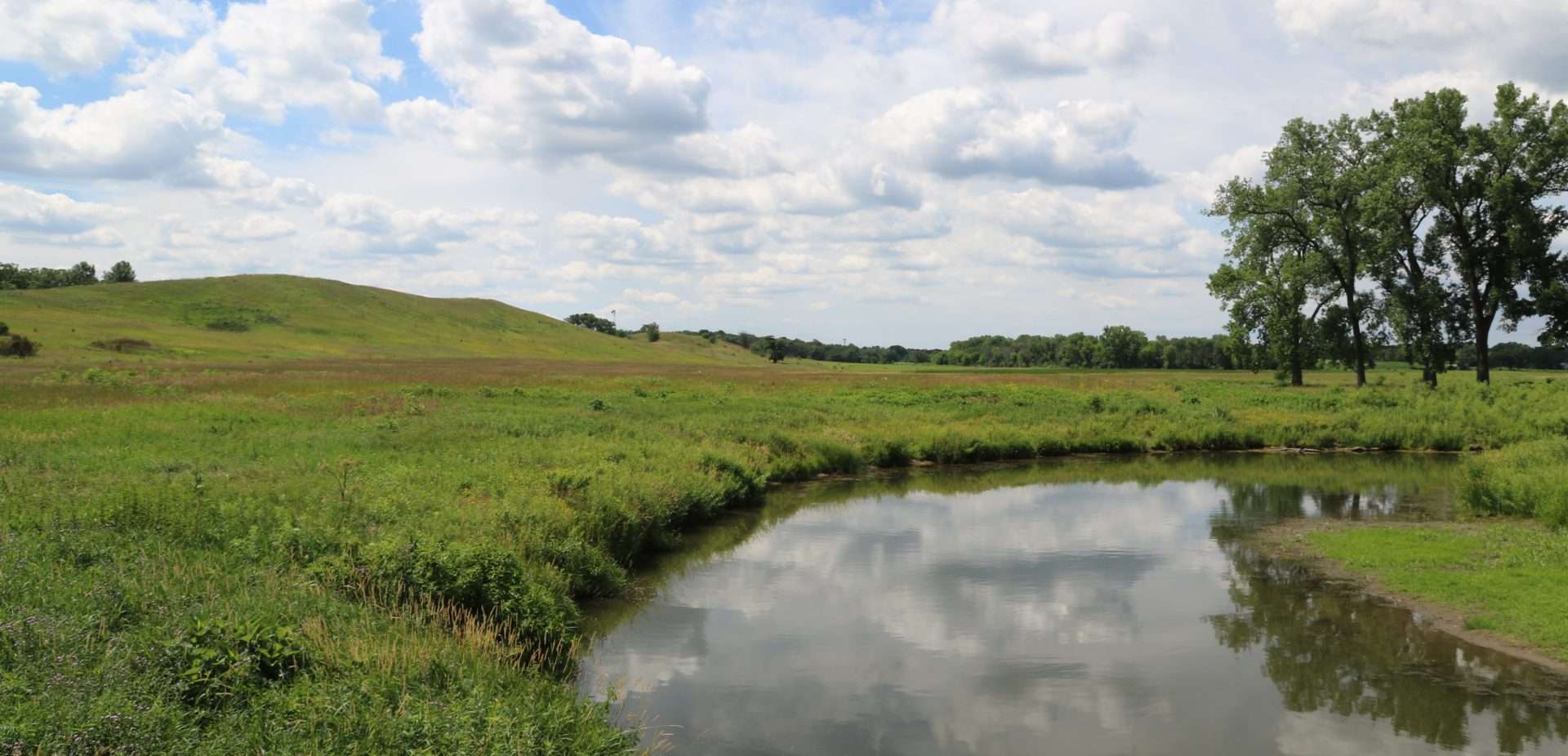
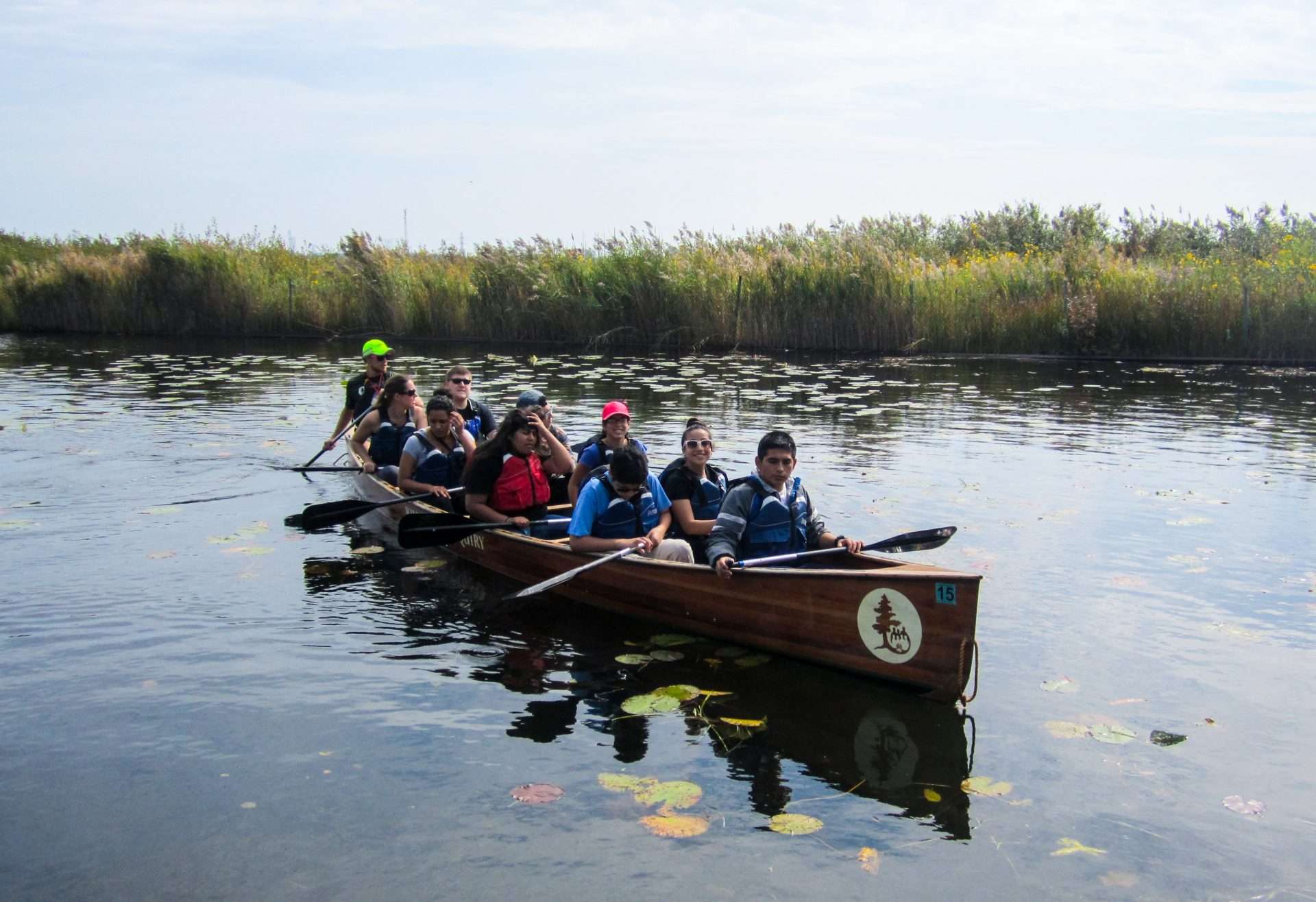
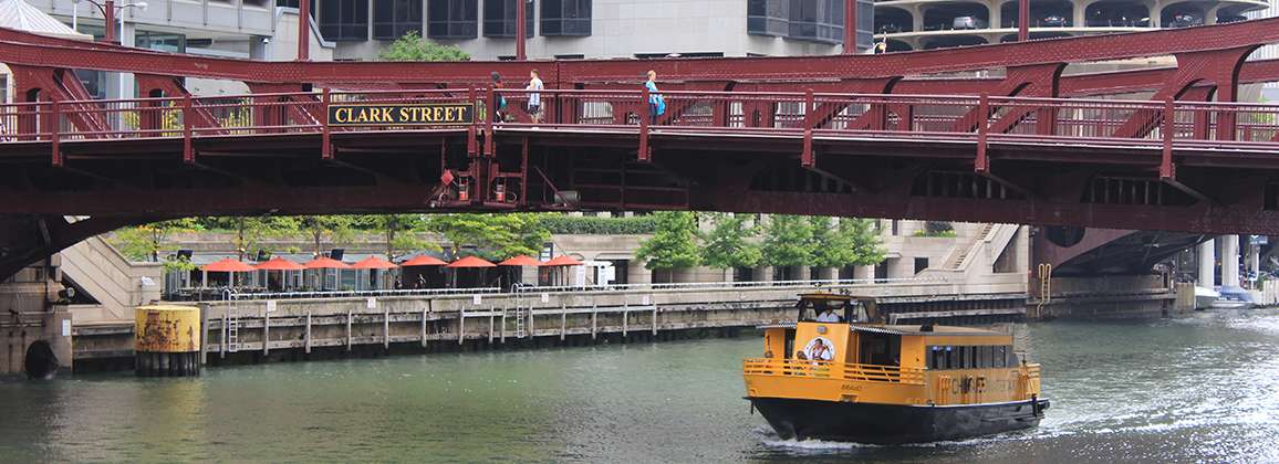
An interactive guide to the Northeastern Illinois water trails system, which encompasses 10 waterways, ranging from creeks that flow through densely wooded forest preserves to the skyscrapers of downtown Chicago.
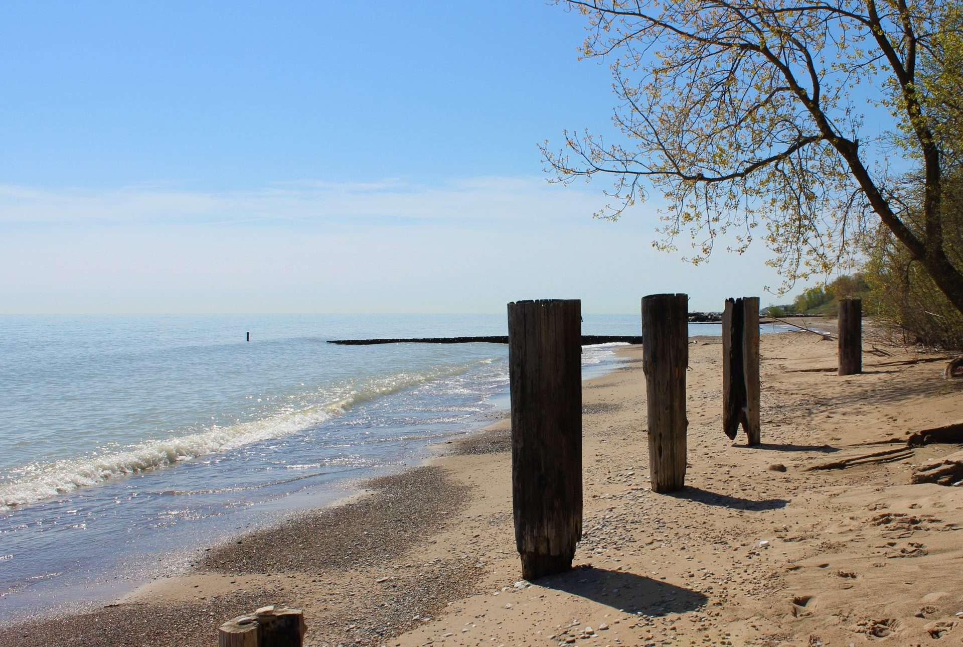
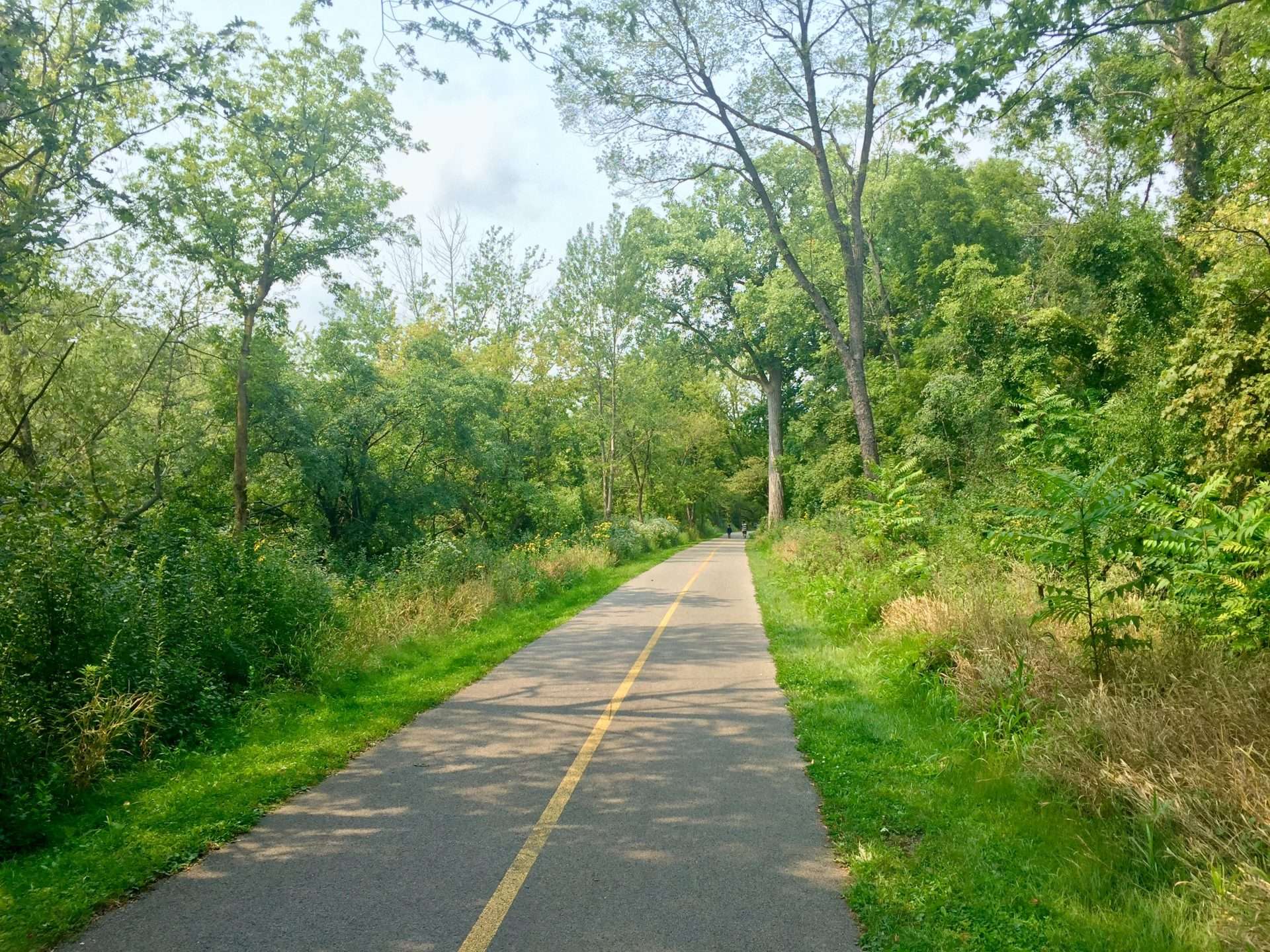
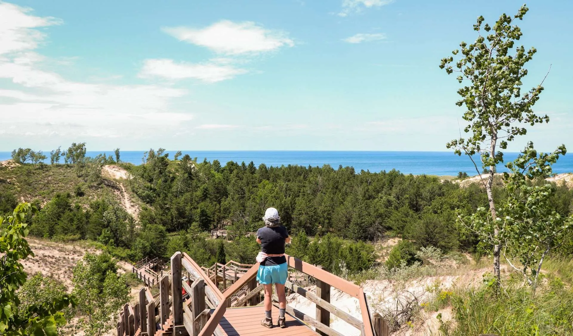
Utilizing trails is the easiest way to enjoy our region’s natural landscape. Find peace and solitude or share an experience with family and friends while you run, bike, or hike in natural serenity!
One of the simplest ways you can take action against Climate Change is by advocating for the protection of nature and wildlife. Learn more about current campaigns to support.
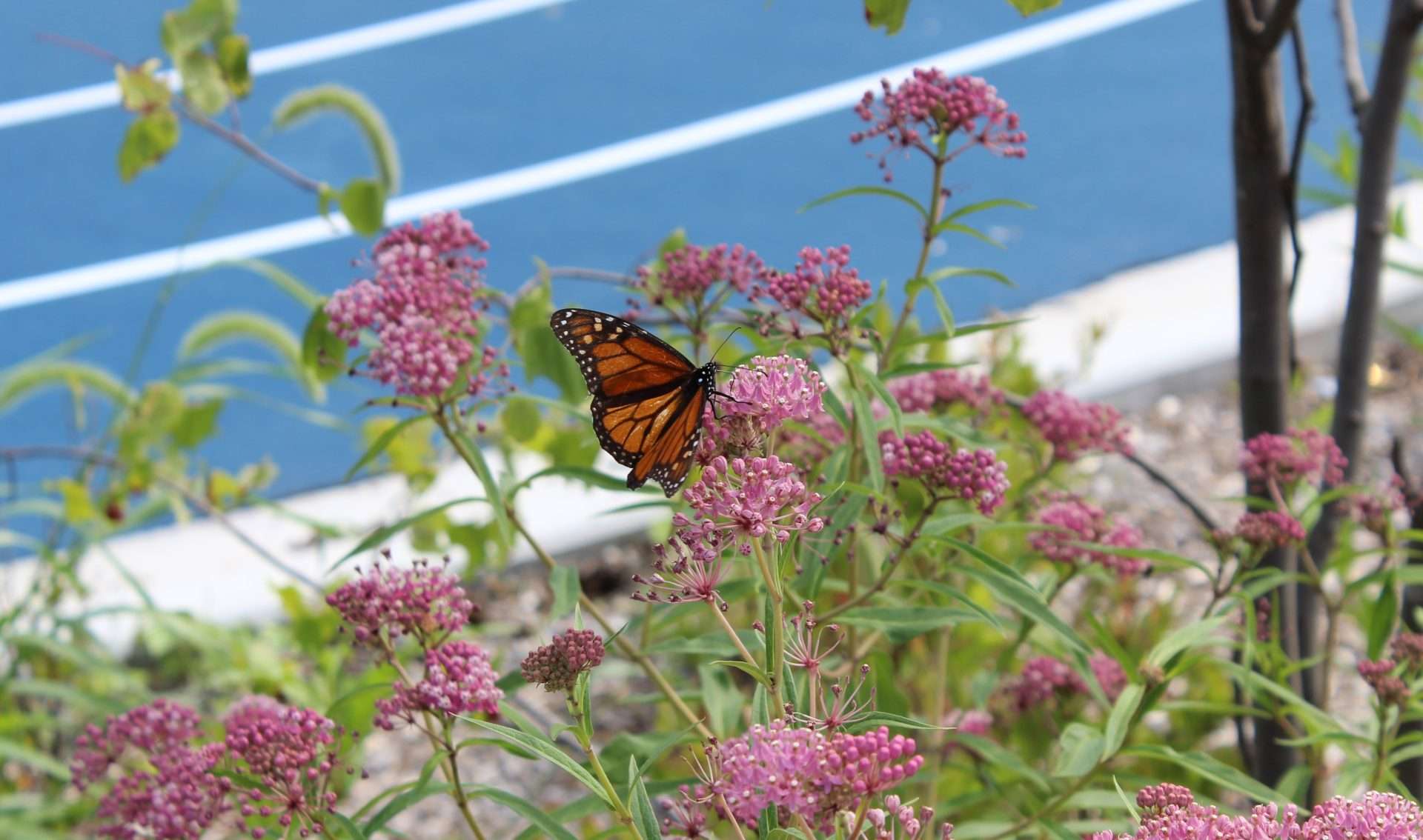
Bring your property into harmony with the Earth through conservation friendly practices.
Join our ever-growing community of tree ambassadors that care for the Urban Forest in Chicagoland.
Bring your property into harmony with the Earth through conservation-friendly practices.
Learn more about how we help public and private landowners create a web of healthy land and water across the Chicago metropolitan region.
Learn more about conservation-friendly practices for farmland in our region.
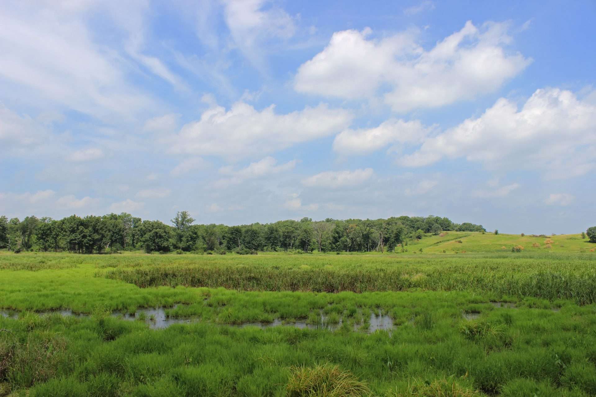
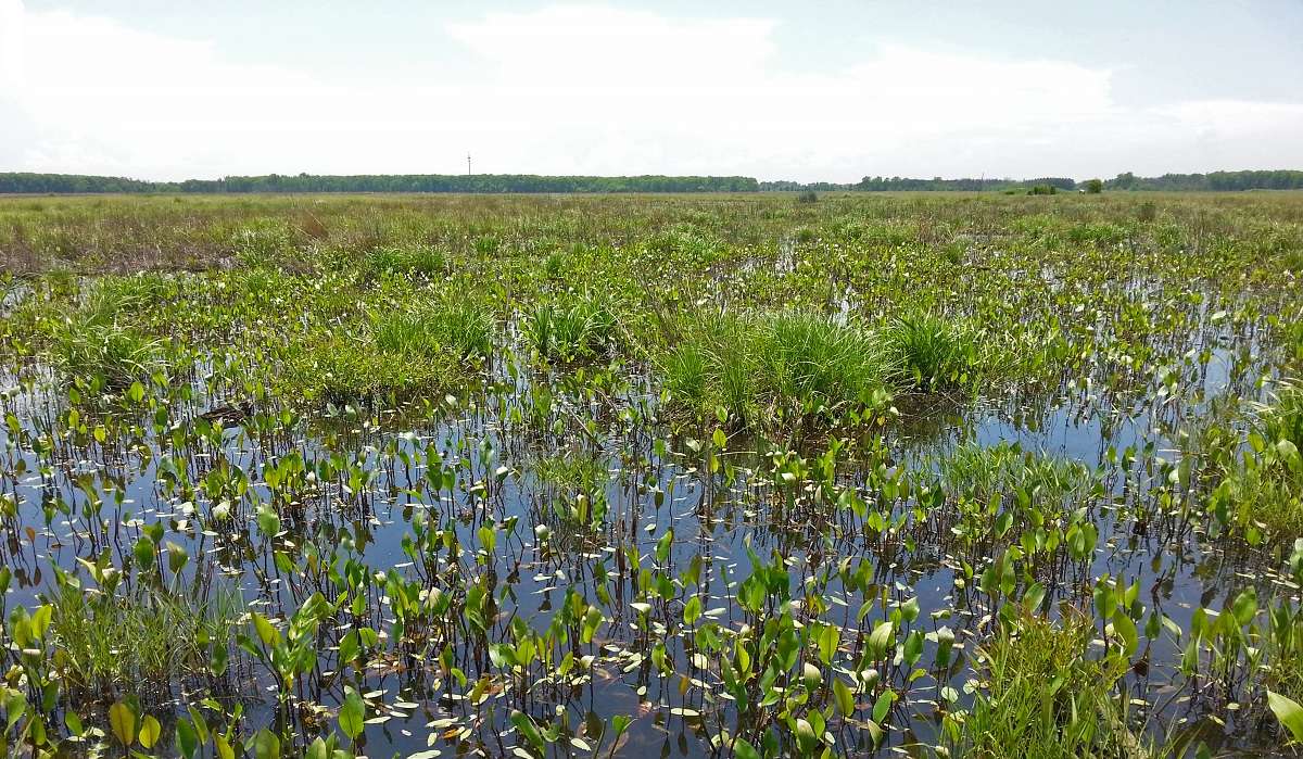
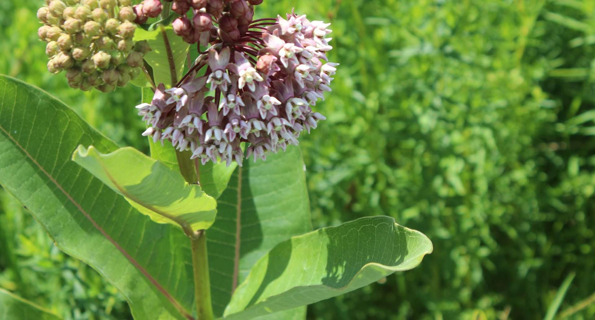
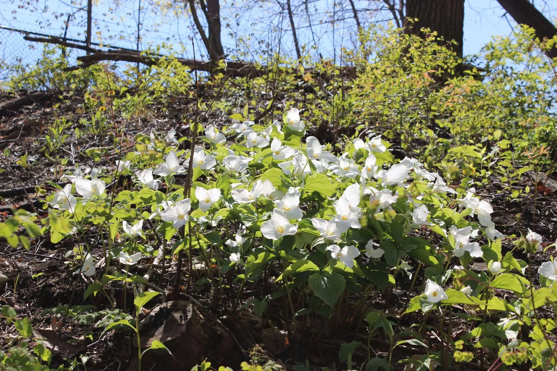
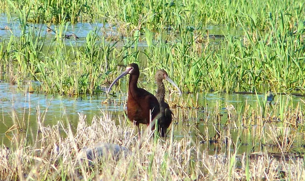
As innovative protectors and stewards of the land, we work to create access to nature for all.
Our projects strive to give back to our region’s open spaces and create new ones so that we can continue to enjoy their solace and health benefits for generations to come.
Questions for us? Contact our expert team.
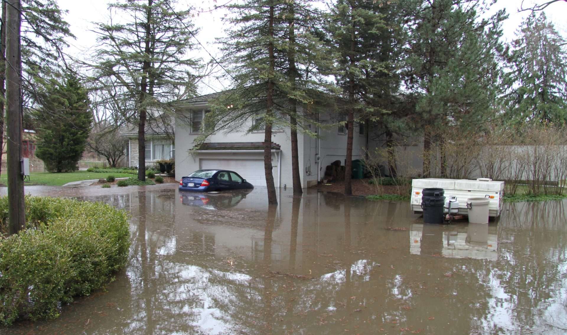
Home / Water