


Home / Lake Michigan
Home / Lake Michigan
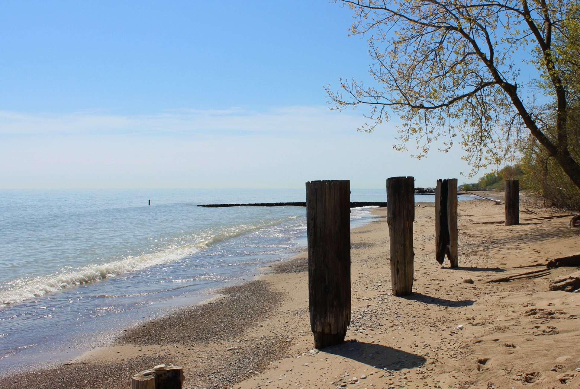
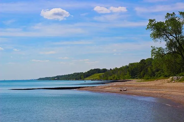
Just north of the City of Chicago sits a mile of lakefront beach and a series …
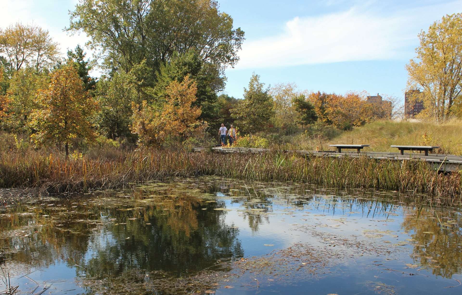
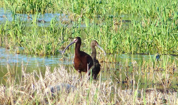
This year marks the 100th Anniversary of the Migratory Bird Treaty between the United States and …
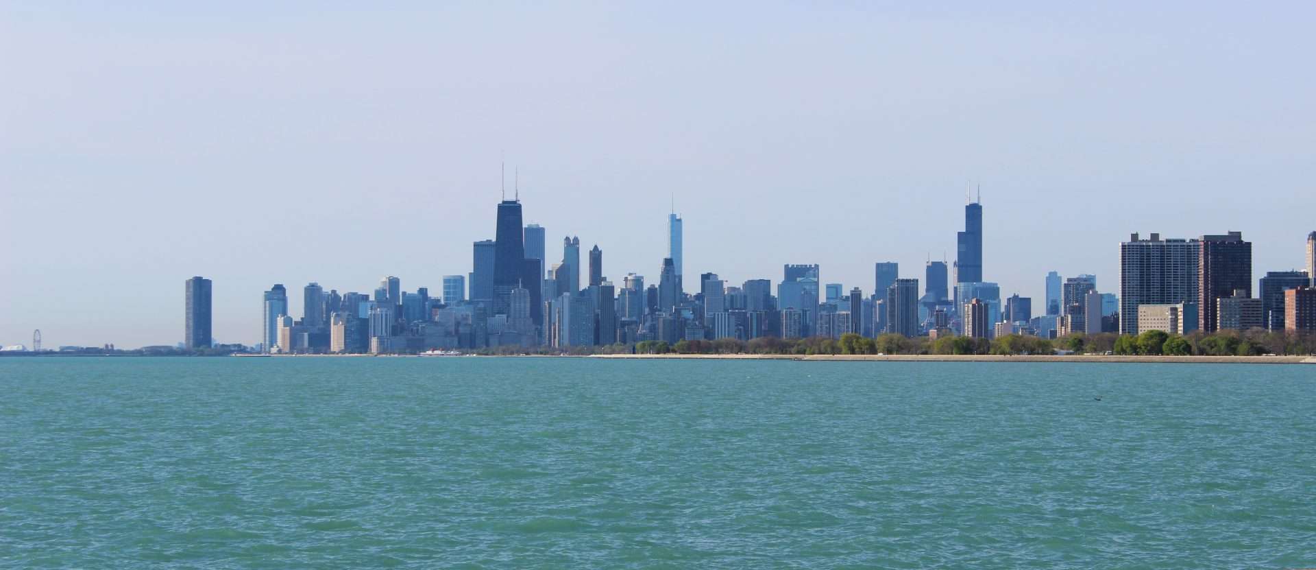
A wildlife biologist peers down at the Chicago River from the Washington Street Bridge. River otters …