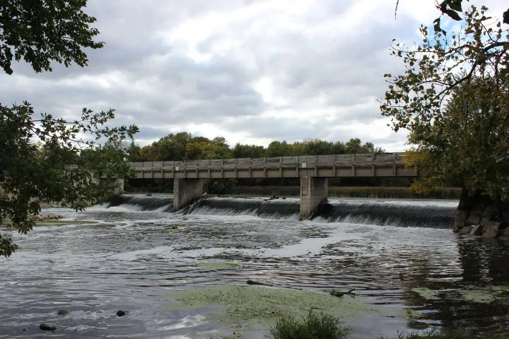
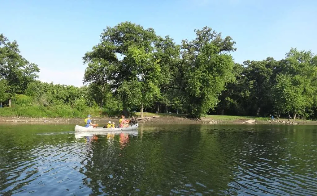
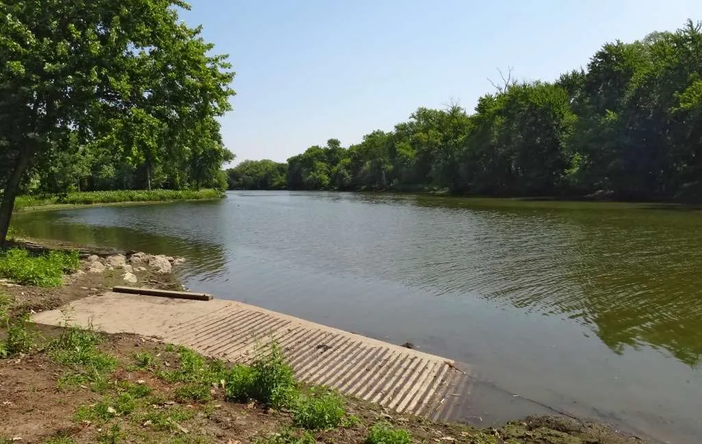
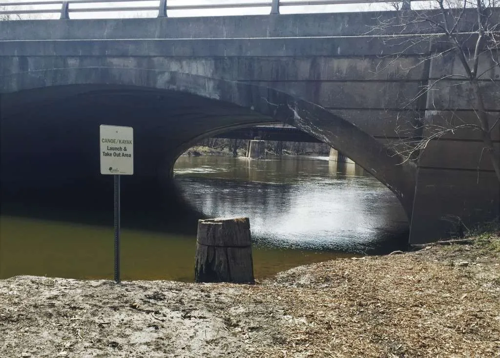
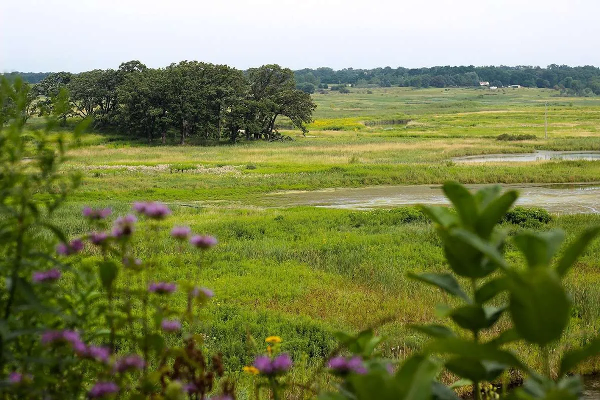
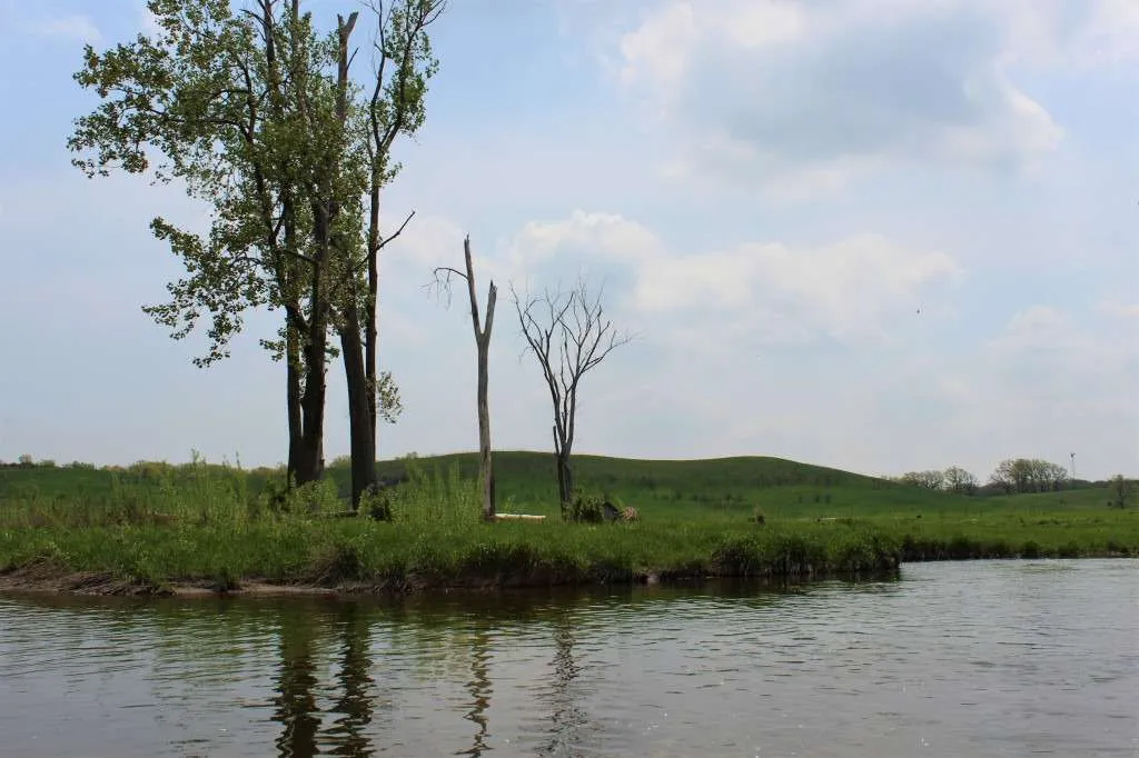
Share

Waterway Systems

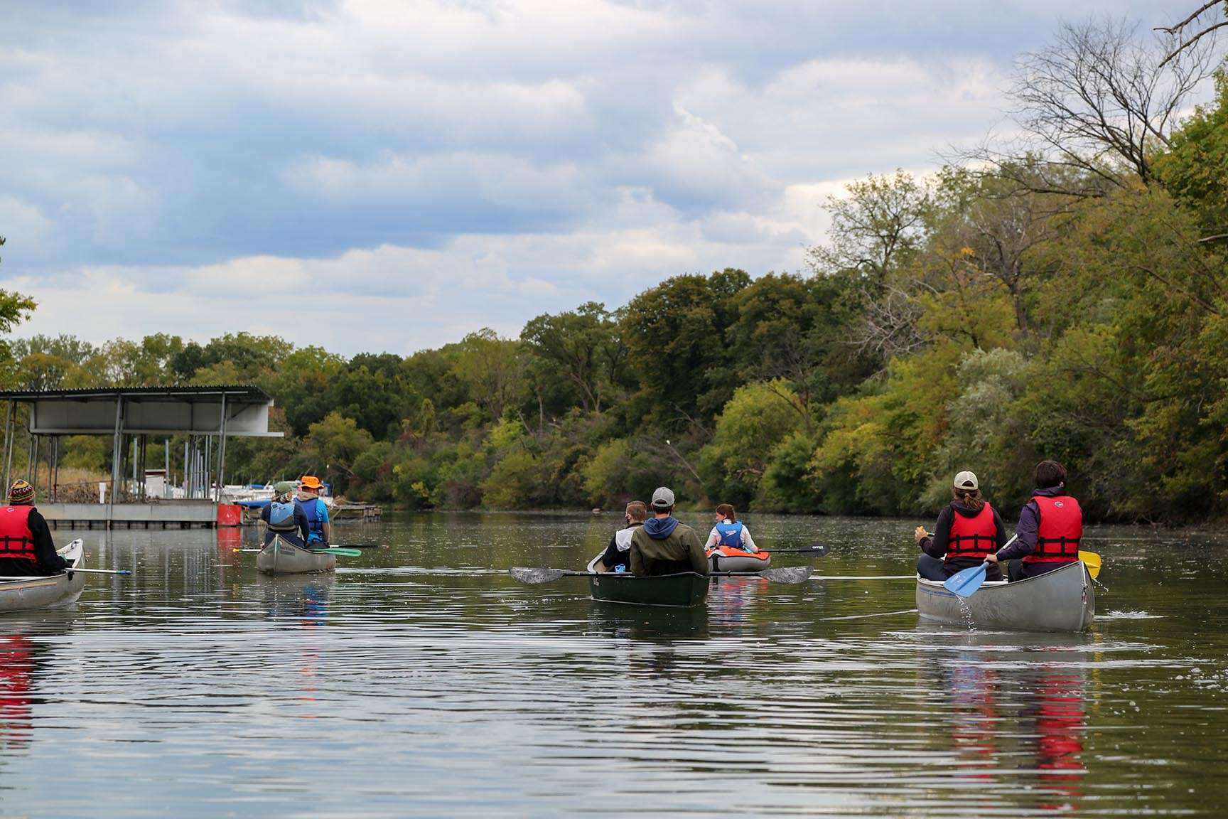
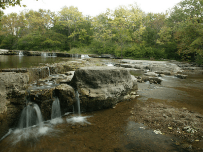
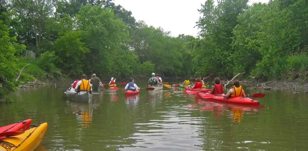
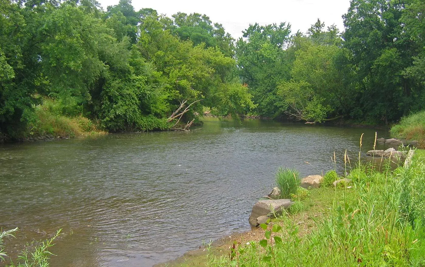
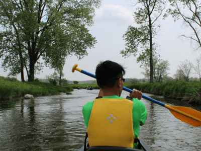
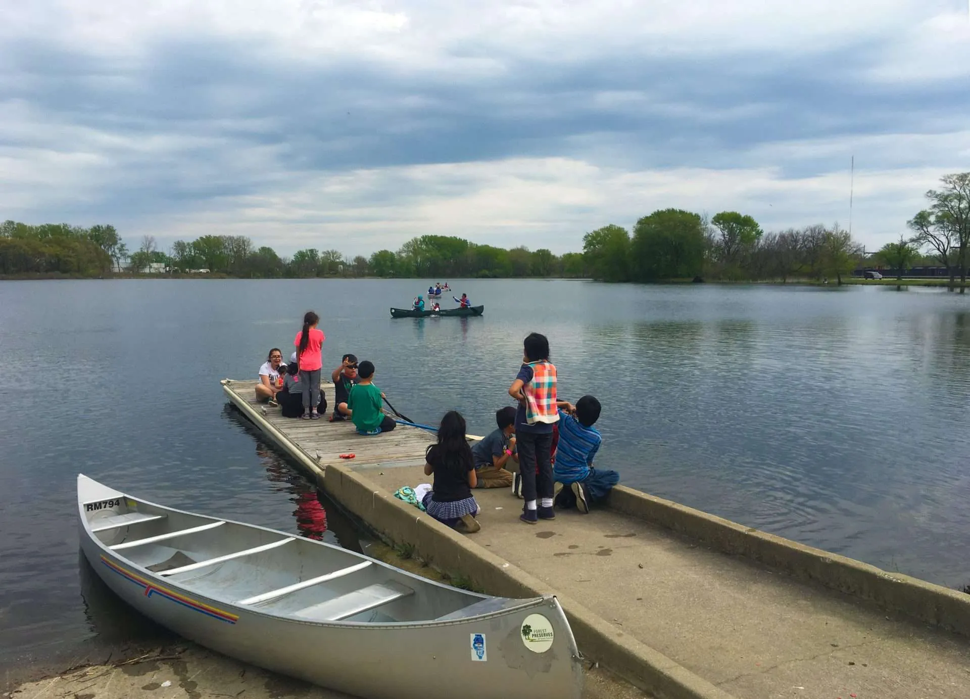
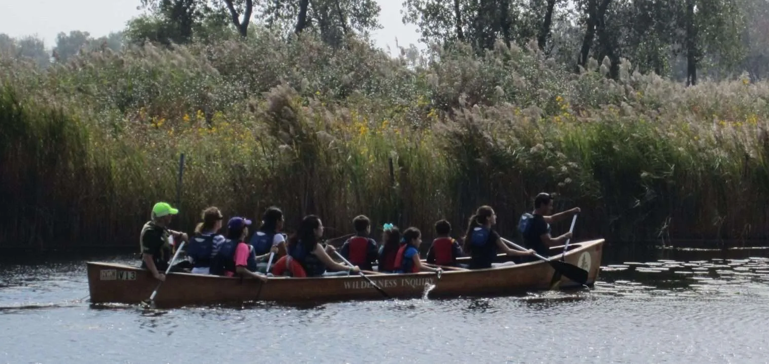
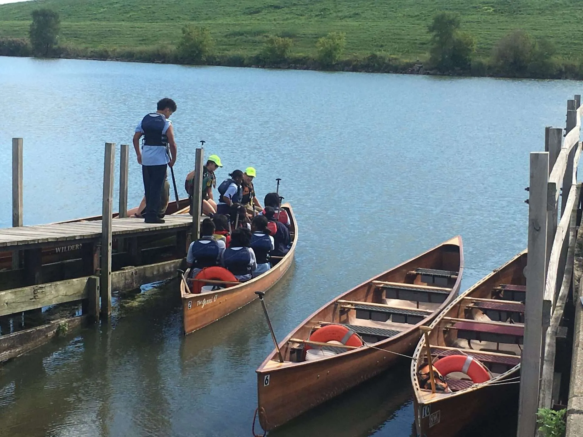
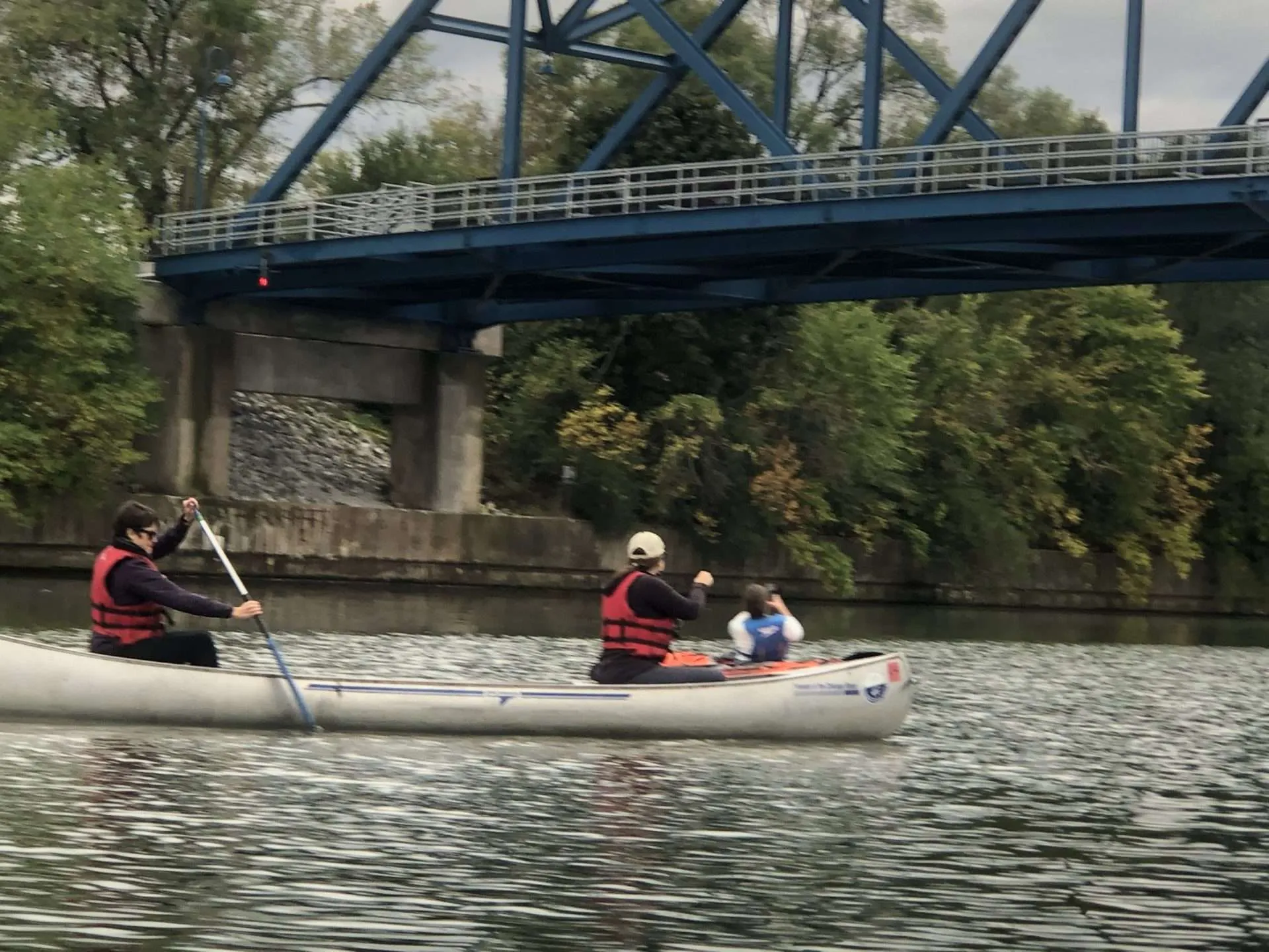
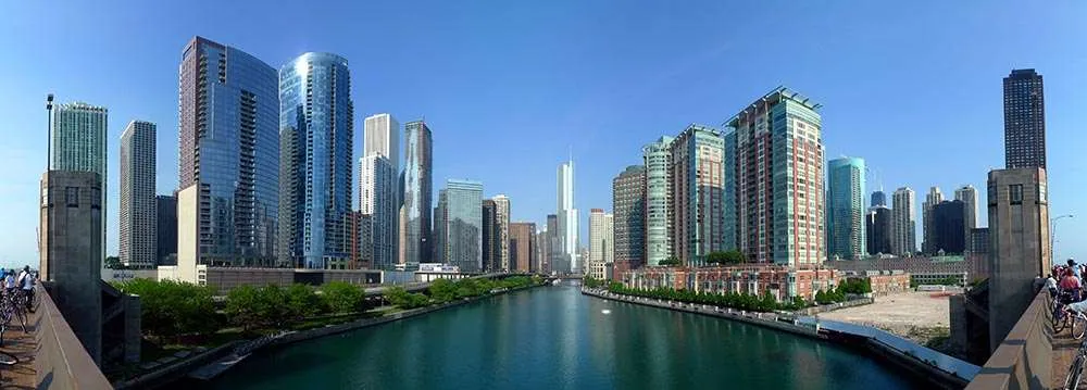
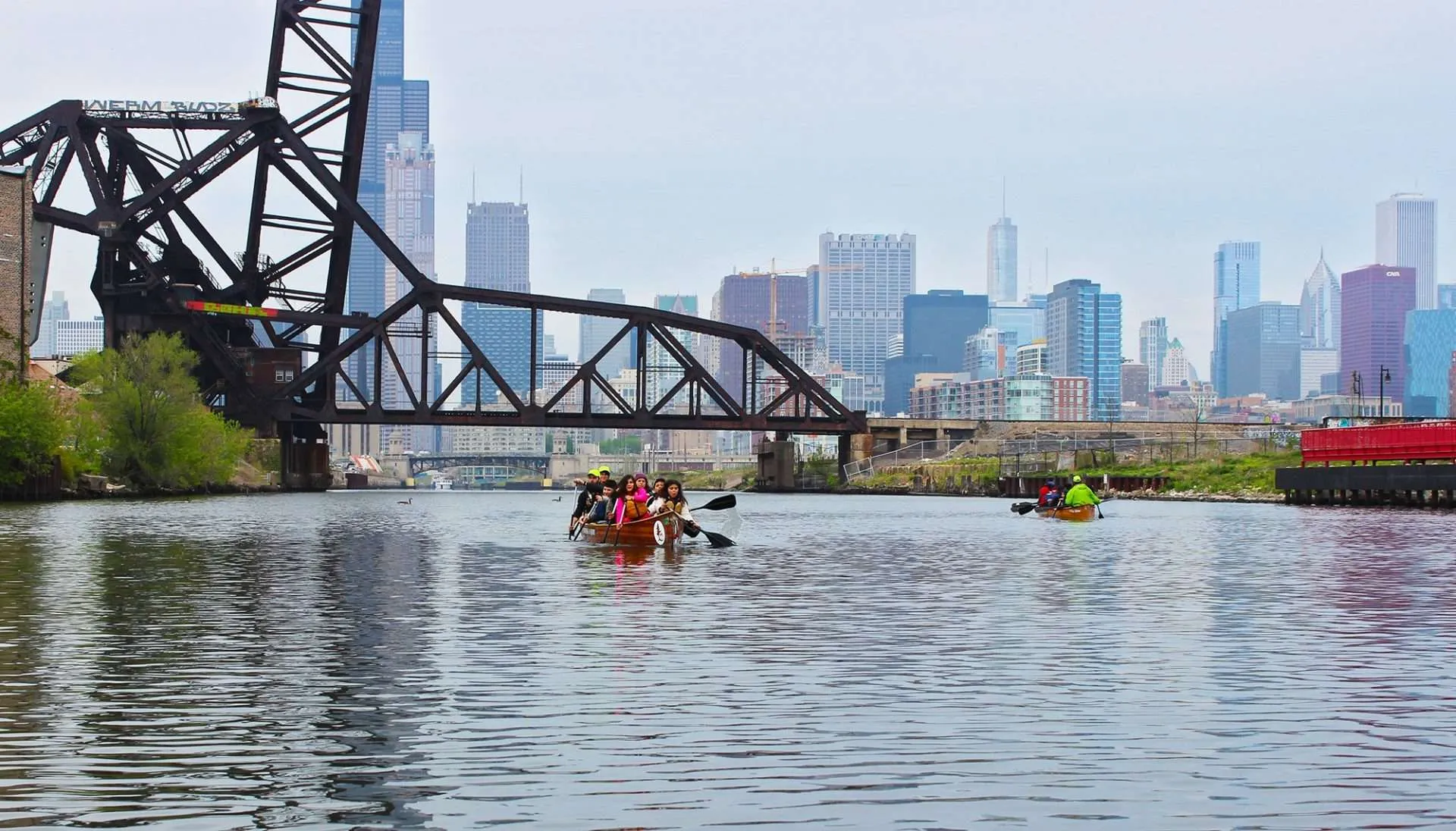
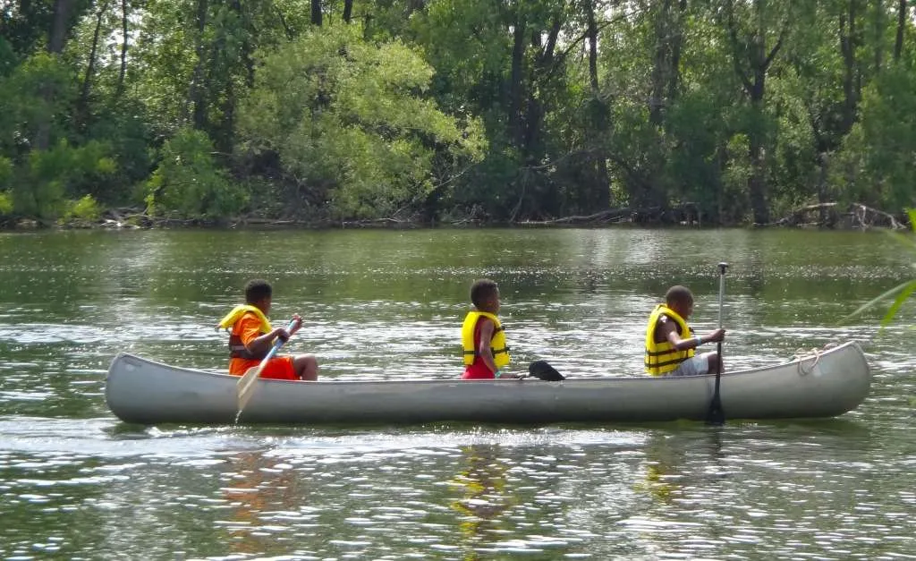
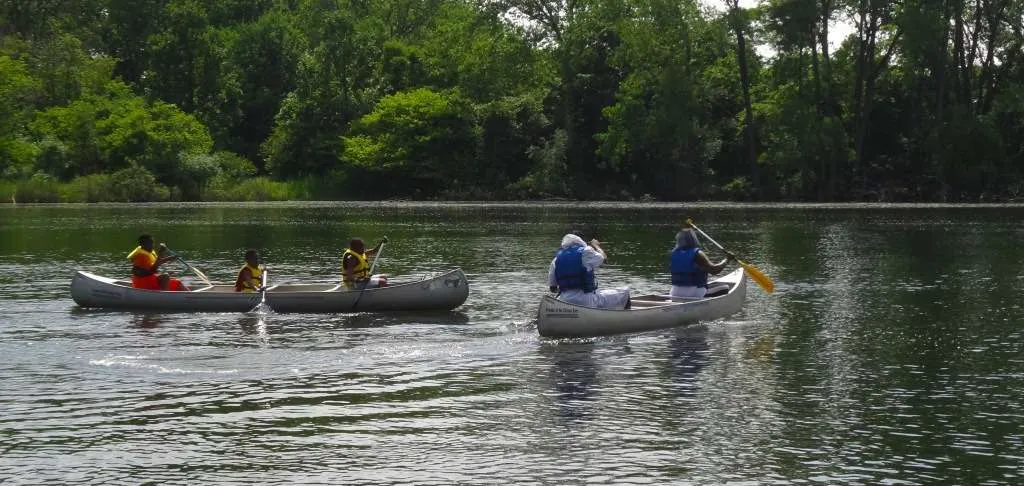
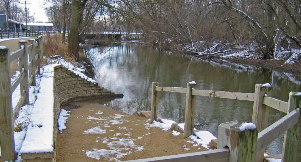
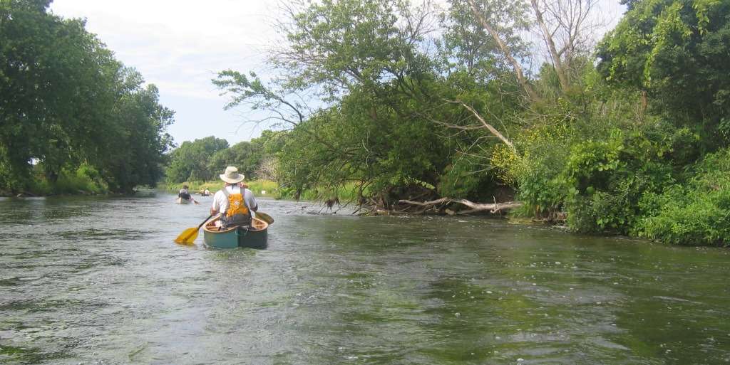
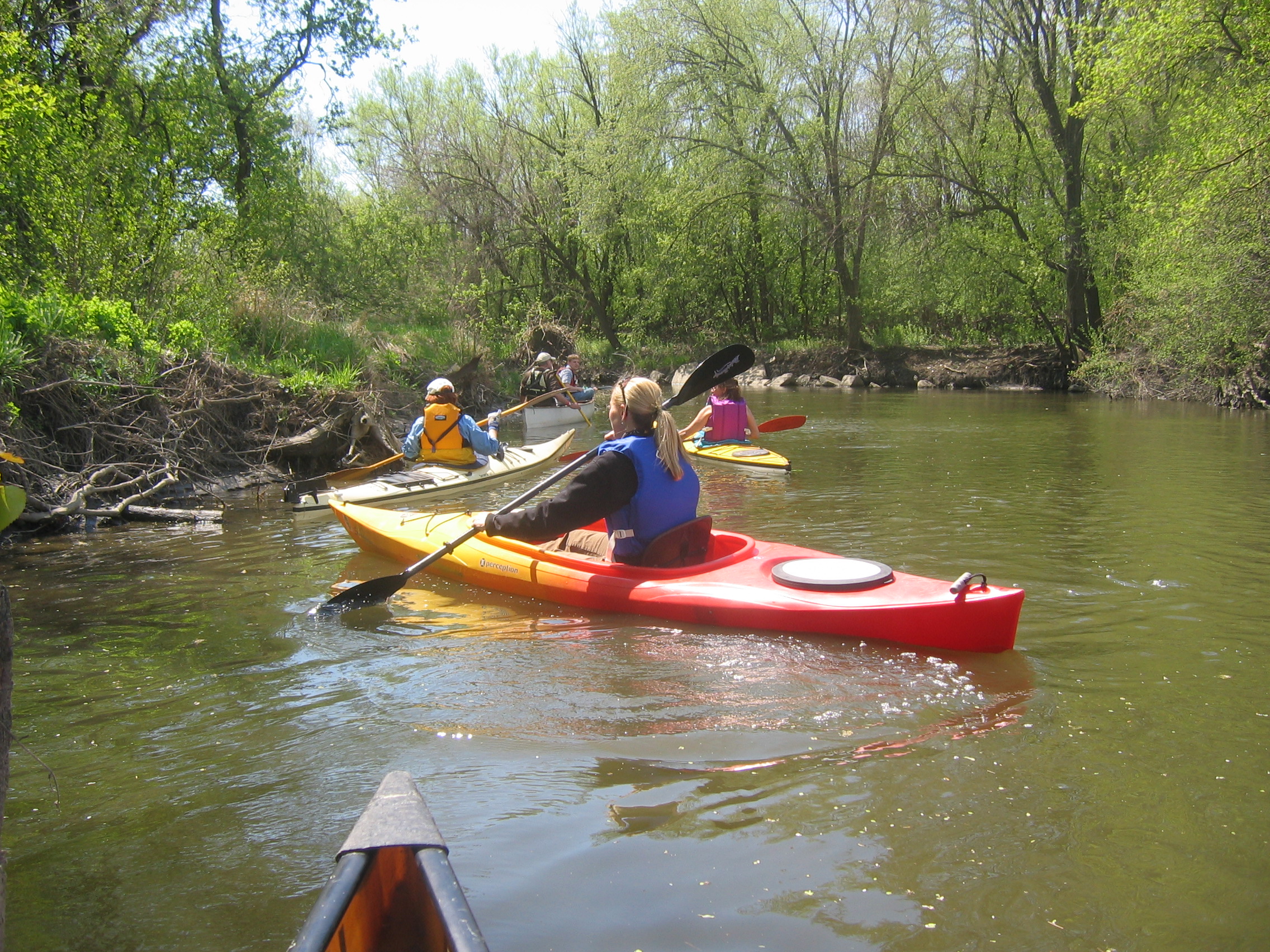
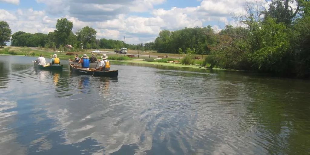
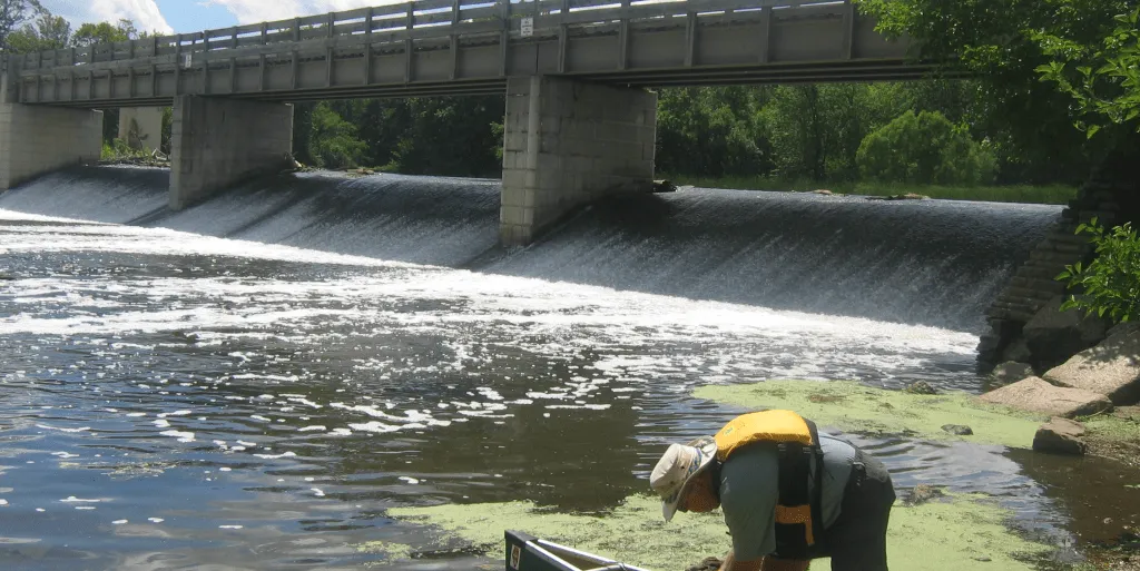
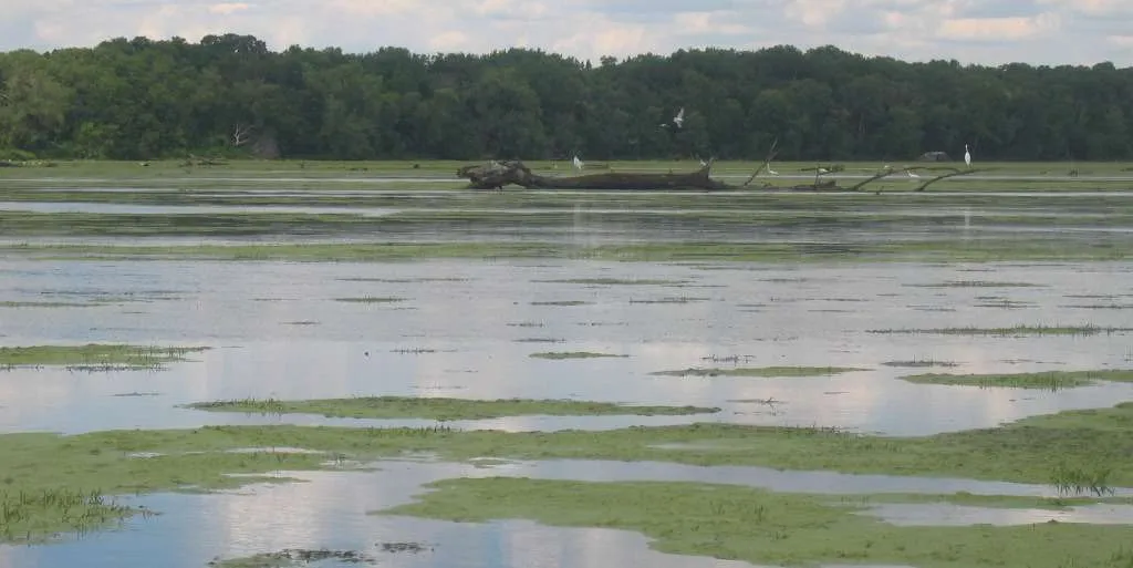
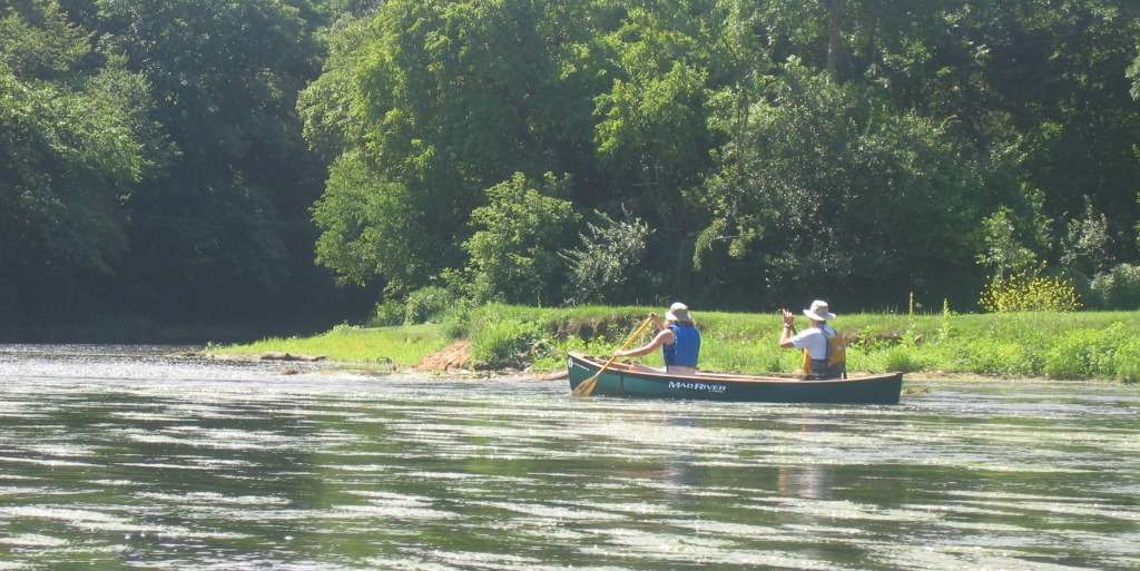
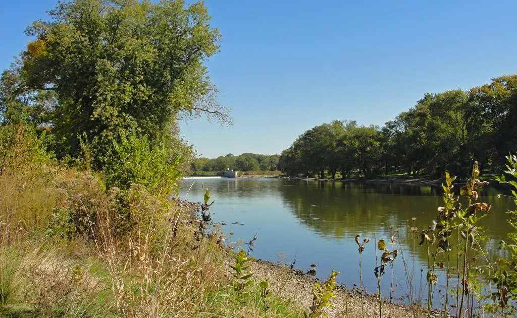
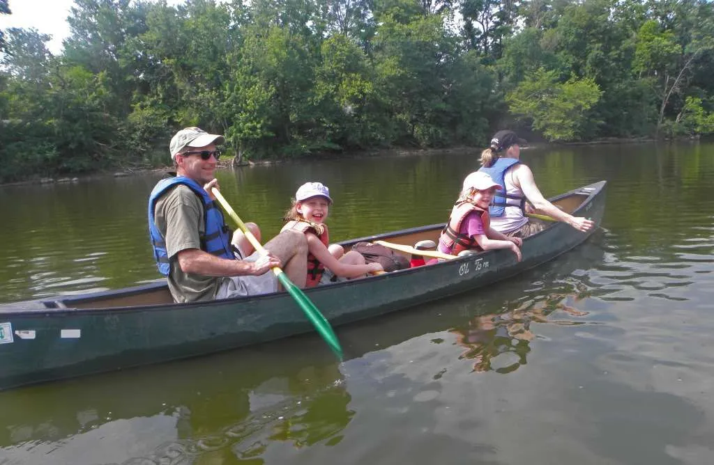
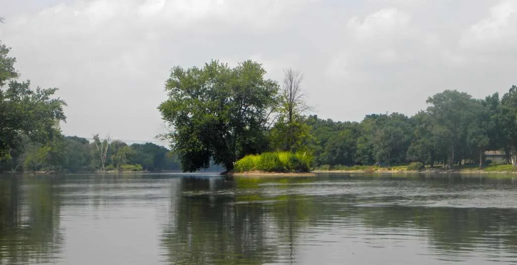
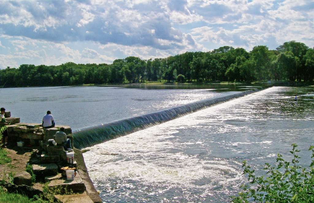
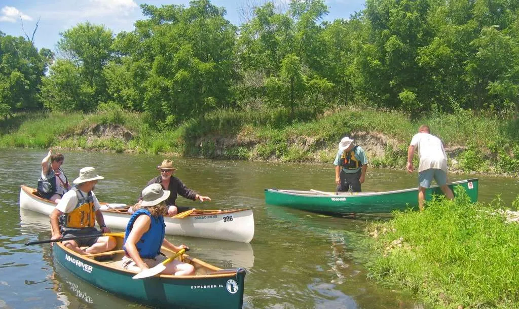
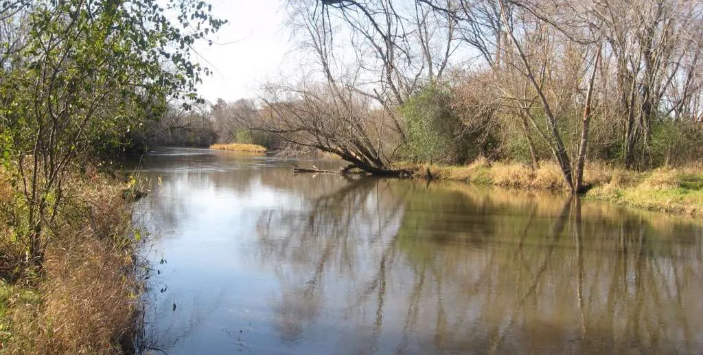
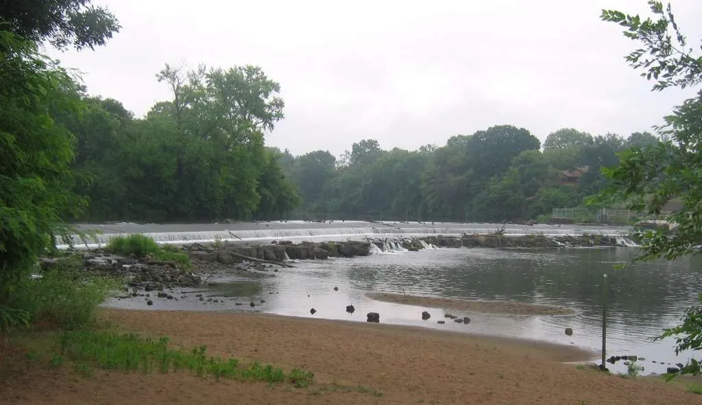
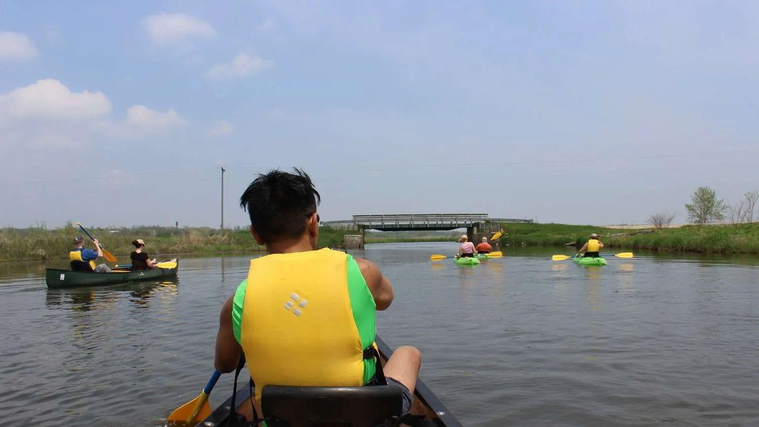
The Northeastern Illinois water trails system encompasses 10 waterways. These water trails offer a variety of experiences, ranging from creeks that flow through densely wooded forest preserves to the skyscrapers of downtown Chicago as seen from Lake Michigan and the Chicago River. The water trails of northeastern Illinois present paddling experiences found few other places in the world.

Share

Calumet Area Water Trails

Water Trails in Calumet comprise a number of connected natural and man-made waterways, including both rivers and lakes.

Chicago River Water Trails

The Chicago River is a long, diverse waterway that begins in Lake County.

Des Plaines River Water Trails

The Des Plaines River begins in Racine County, Wisconsin and flows south through Illinois for about 95 miles.

DuPage River Water Trails

The DuPage River is a small-to-medium sized stream flowing north to south through DuPage and Will counties and ending at its confluence with the Des Plaines River in Channahon.

Fox River Water Trails

The Fox River presents a number of varied paddling experiences for different skill levels. As the river enters Kendall County below Montgomery, it becomes a large, quiet, and scenic river flowing mostly through farmland.

Kankakee River Water Trails

The Kankakee River was designated as a National Water Trail in June 2016 for its entire length, starting at its origin in Indiana, all the way to its confluence with the Des Plaines River in Illinois.

Kishwaukee River Water Trails

The Kishwaukee is a beautiful river that offers some of the highest quality aquatic habitat in northeast Illinois.

Lake Michigan Water Trails

The Illinois section of the Lake Michigan Water Trail stretches 68 miles from the Indiana border, at Calumet Park on the south side of Chicago, to the Wisconsin border, north of Winthrop Harbor in Lake County.

Nippersink Creek Water Trails

The Nippersink Creek, a twenty-three-mile long creek with a 138 square mile watershed, is a major tributary of the Fox River and a safe stream for paddlers of all abilities

Salt Creek Water Trails

Salt Creek consists of four sections, each offering a distinct paddling experience. Paddling is also available at Busse Lake located at the northern end of the trail in Ned Brown Forest Preserve (Busse Woods).

Scroll to Top

Calumet Area Water Trails

Water Trails in Calumet comprise a number of connected natural and man-made waterways, including both rivers and lakes. Calumet waterways offer a variety of experiences. Thorn Creek and the Upper Little Calumet River are shallow streams with wooded banks, perfect for beginners. The Cal-Sag Channel, Lower Little Calumet, and Calumet Rivers are deep, engineered channels with barge and powerboat traffic, appropriate for experts. Calumet also offers paddling on Wolf Lake and Powderhorn Lake.

Chicago River Water Trails

The Chicago River is a long, diverse waterway that begins in Lake County. It includes the Skokie River, Skokie Lagoons, the West and Middle Forks of the North Branch, the North Shore Channel, the North Branch, the North Branch Canal (the east channel around Goose Island), the Main Branch in the downtown area of the city, the South Branch, the South Fork of the South Branch (Bubbly Creek), and the Sanitary and Ship Canal leading to the National Historic Site of the Chicago Portage Area around 47th Street and Harlem Avenue, southwest of the city. Its location between the Great Lakes and the Mississippi River watersheds is one reason why Chicago became the second largest non-coastal city in North America.

Des Plaines River Water Trails

The Des Plaines River begins in Racine County, Wisconsin and flows south into Illinois as a small prairie stream. It runs approximately 95 miles through four counties in Illinois to its confluence with the Kankakee River at Channahon, where it forms the Illinois River. Along the water trail, it changes its character (and legal classification) from a prairie stream to a large urban river, and then to a major industrial waterway.

DuPage River Water Trails

The DuPage River is a small-to-medium sized stream flowing north to south through DuPage and Will counties and ending at its confluence with the Des Plaines River in Channahon. The DuPage consists of east and west branches which meet south of Naperville. Together, they make up eighty-four miles of waterway that drain a watershed of 326 square miles.

Fox River Water Trails

The Fox River presents a number of varied paddling experiences for different skill levels.

Kankakee River Water Trails

The Kankakee River was designated as a National Water Trail in June 2016 for its entire length, starting at its origin in Indiana, all the way to its confluence with the Des Plaines River in Illinois. Where the Kankakee and Des Plaines Rivers meet, the river becomes the Illinois River.

Kishwaukee River Water Trails

The Kishwaukee is a beautiful river that offers some of the highest quality aquatic habitat in northeast Illinois. The river is home to over 1,000 species of plants, 59 species of fish, and 28 endangered species including the Sandhill Crane, Speckled Adler, and Mulberry-Winged Butterfly. Rabbits, woodchuck, and herons are common sights along the river, and river otters recently began inhabiting the region.

Lake Michigan Water Trails

Many partners and states are working toward developing a continuous four state water trail that traverses the entire shore line of Lake Michigan. In 2009, a section of the Lake Michigan Water Trail extending from the Chicago Park District’s Leone Beach at Touhy Avenue south along Chicago’s Lakefront and east along the entire shoreline of Indiana was designated a National Recreational Trail. All four states surrounding Lake Michigan shoreline are working to complete and improve the Lake Michigan Water Trail. The Illinois Department of Natural Resources Coastal Management Program has developed a website with information on the Lake Michigan Water Trail in Illinois. If you are planning a trip that includes another state, see information from the the State of Michigan, the State of Indiana, and the State of Wisconsin.

Nippersink Creek Water Trails

The Nippersink Creek, a twenty-three-mile long creek with a 138 square mile watershed, is a major tributary of the Fox River and a safe stream for paddlers of all abilities. Paddling the Nippersink is among the best ways to experience the landscapes of Hackmatack National Wildlife Refuge, and the Nippersink watershed is a major focus for Openlands in our ongoing restoration at the refuge.

Salt Creek Water Trails

Salt Creek consists of four sections, each offering a distinct paddling experience. Paddling is also available at Busse Lake located at the northern end of the trail in Ned Brown Forest Preserve (Busse Woods).