
Directions: Keystone Landing in Glacial Park, owned by the McHenry County Conservation District, is located east of the intersection of Keystone Road and Barnard Mill Road, in Wonder Lake. The canoe launch, also owned by the conservation district, is located northeast of Route 12, south of Sunset Road, in Fox Lake. In between, there are canoe launches located west of Pioneer Road and north of Harts Road, in Solon Mills; and in Lyle Thomas Park, approximately 0.2 miles north of Route 12, on Blivin Road, in Spring Grove.
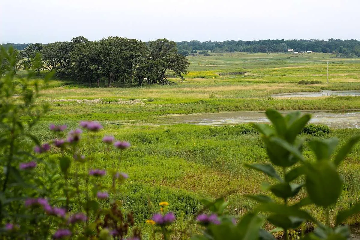
Notes: The creek meanders through conservation areas and farms, affording views of glacial landforms characteristic of Hackmatack National Wildlife Refuge. In Glacial Park, the conservation district has completed one of the largest stream restoration projects in the country, enhancing aquatic habitats and protecting water quality, which is considered some of the best in the region. Please respect the privacy of riparian landowners—no landing on private property.
Always check United States Geological Survey (USGS) water data before your trip.