


Home / Clean Water
Home / Clean Water
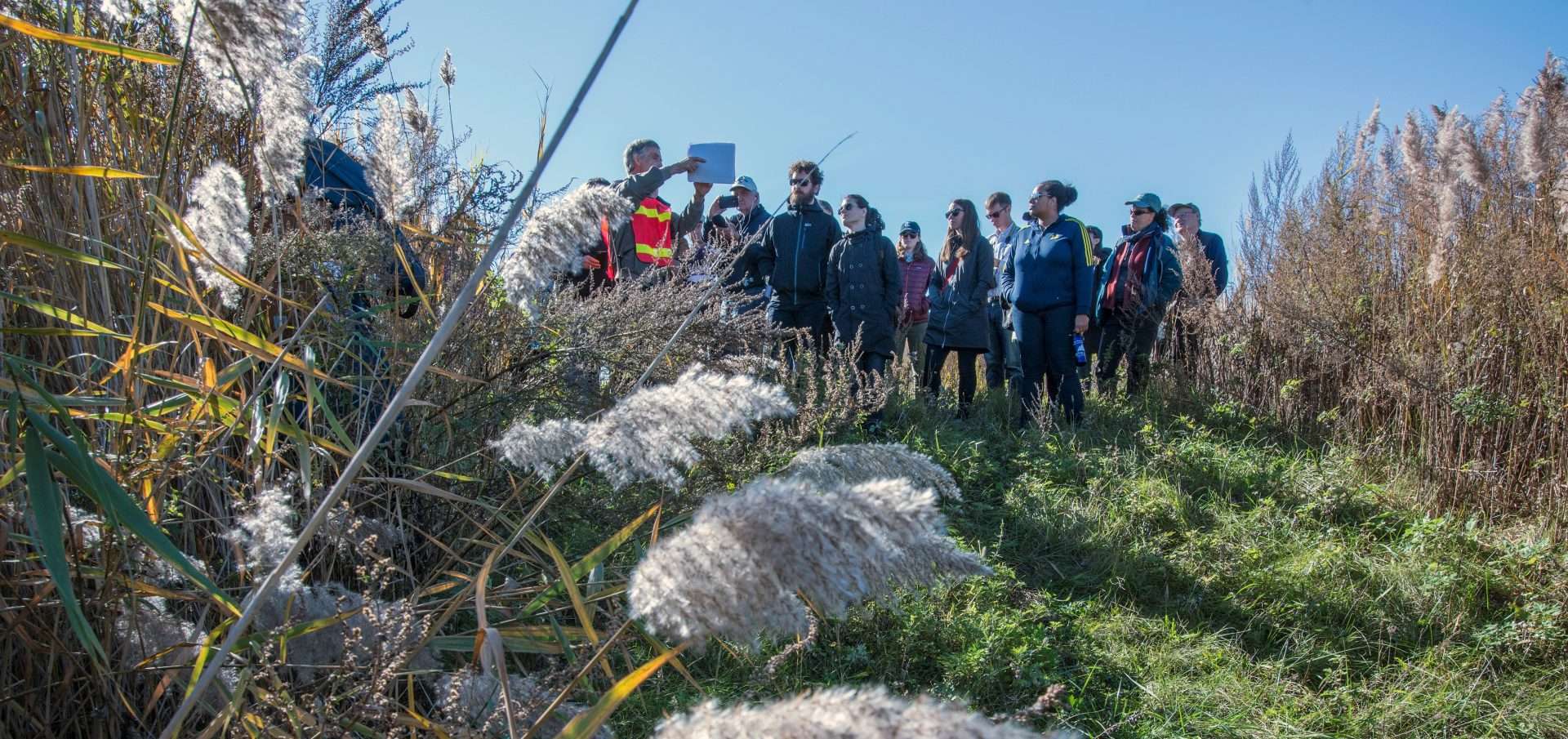
On November 5, Openlands Greenways Director Ders Anderson joined local community leaders, and guided a tour …
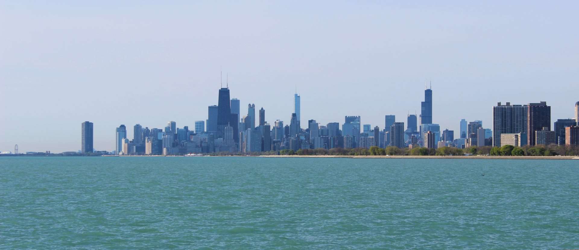
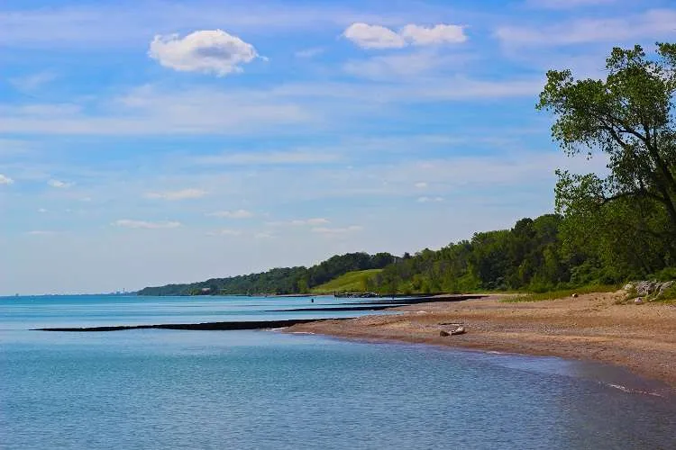
Just north of the City of Chicago sits a mile of lakefront beach and a series …
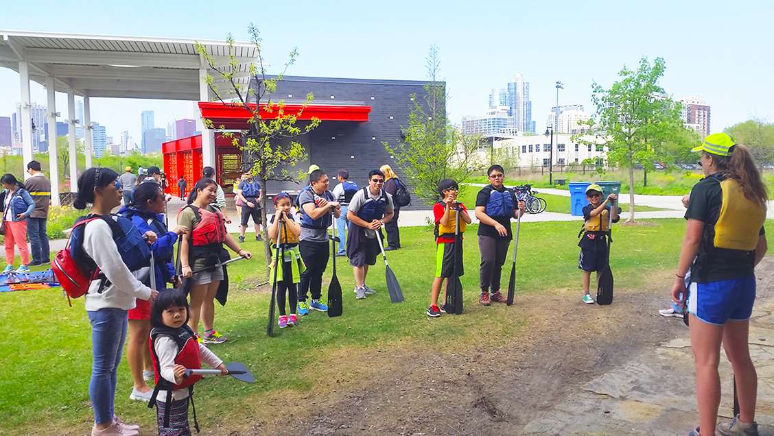
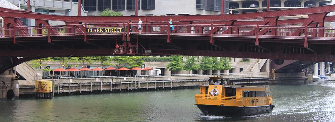
Openlands’ Explore Your Lakes and Rivers series began on Mother’s Day at Ping Tom Park in …
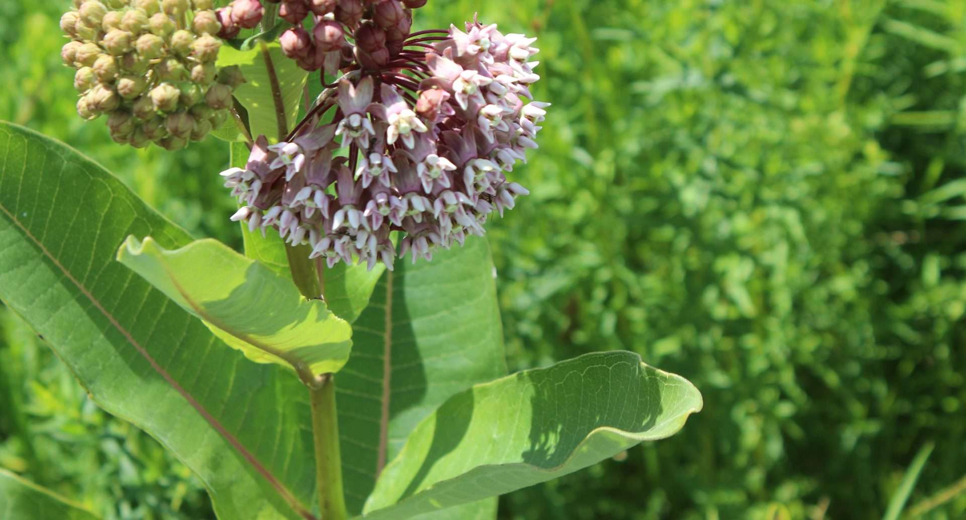
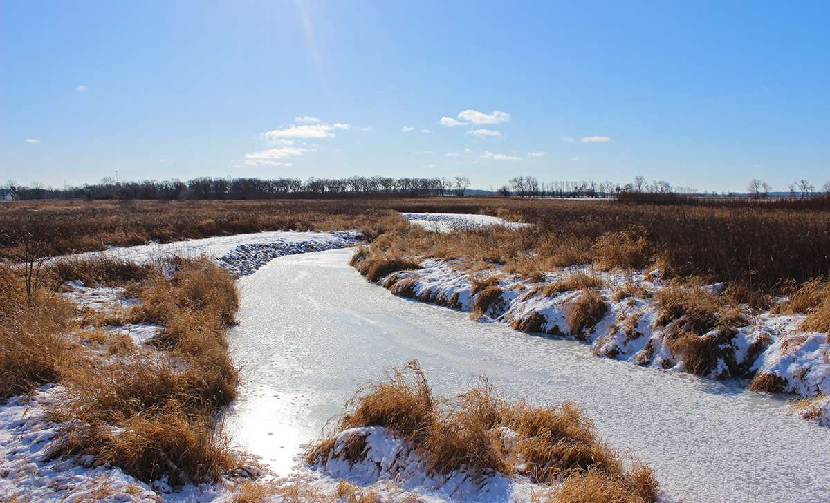
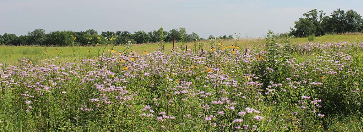
Spend an afternoon exploring the countryside of McHenry County, about 70 miles northwest of Chicago, and …
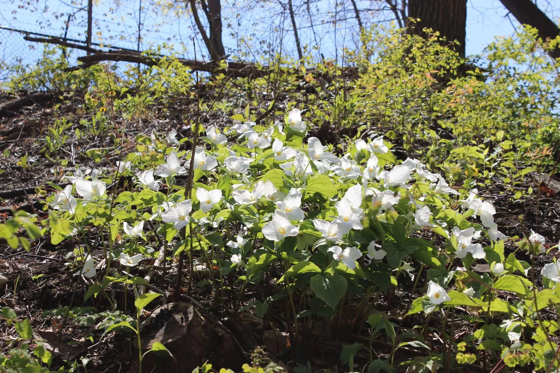
Connecting young people to nature where they live is vital to creating our planet’s future stewards. …
A wildlife biologist peers down at the Chicago River from the Washington Street Bridge. River otters …
Openlands envisions a Chicago region where all people can connect to a web of green. The …