Partnering for greater impact

Planning and policymaking for systemic change

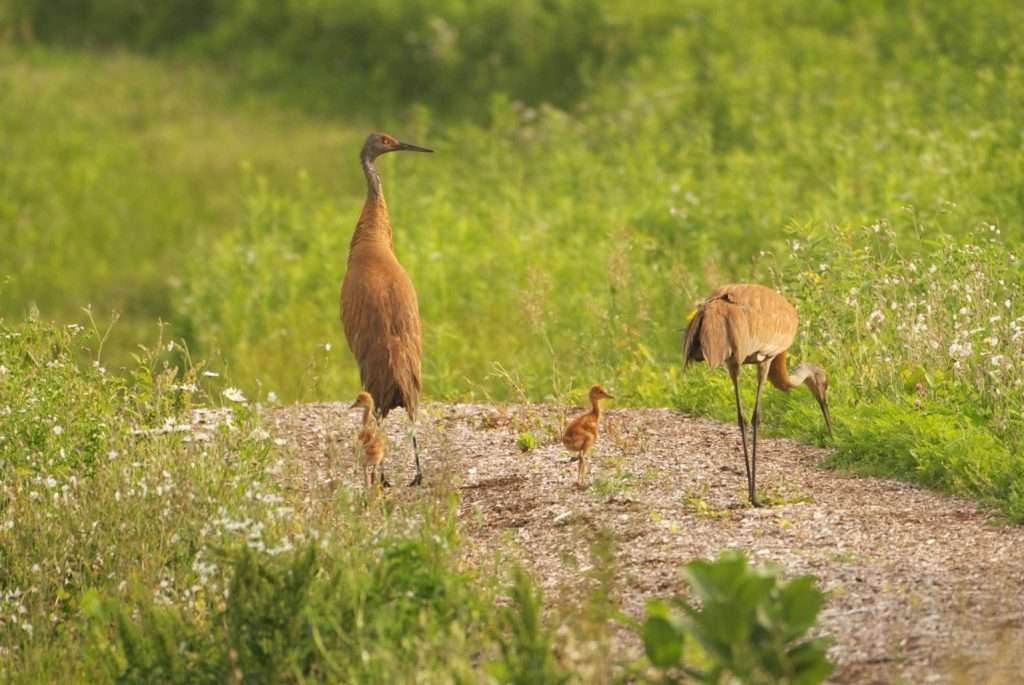
Protecting important landscapes

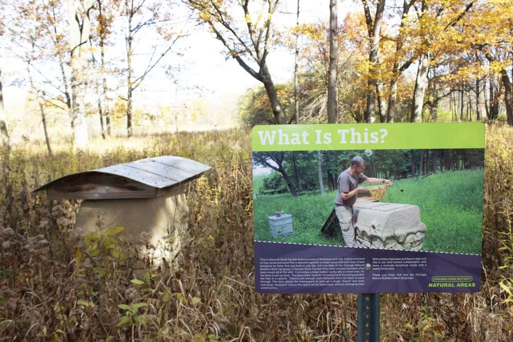
Delivering technical expertise in ecology and restoration

Igniting advocacy momentum
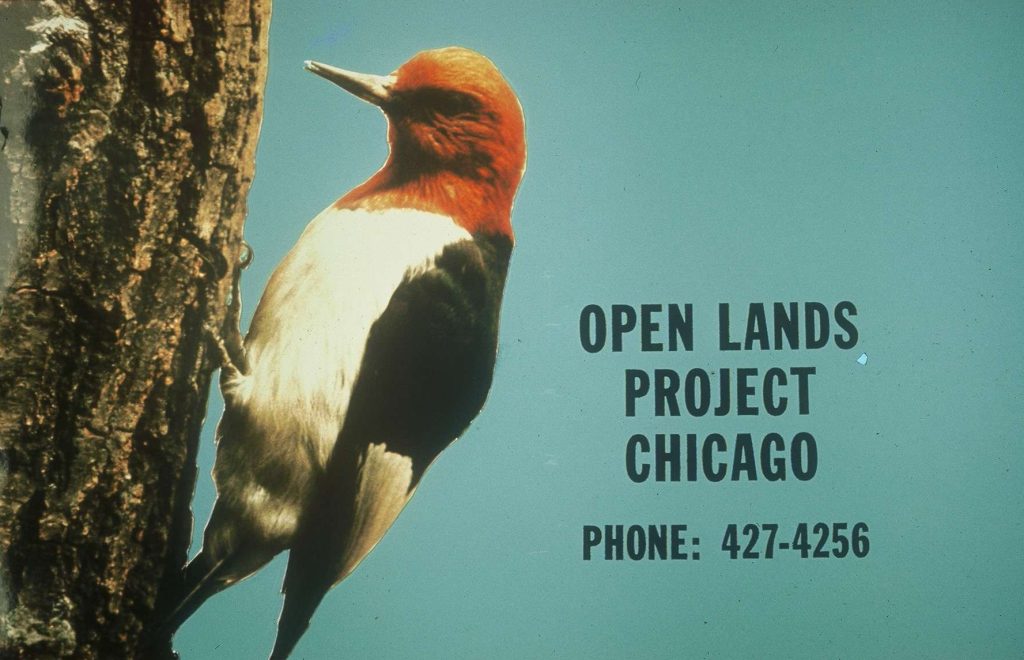
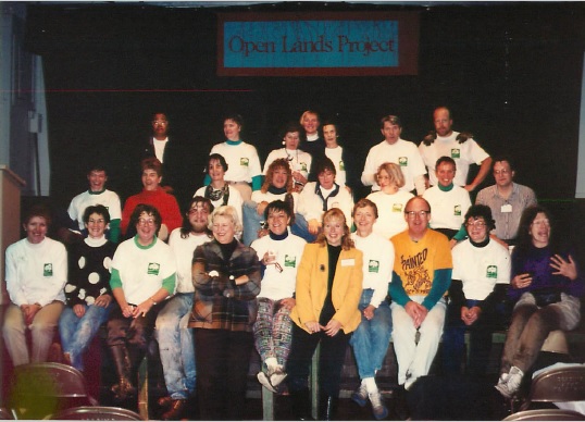
Openlands Project (originally Open Lands Project) is created as a program of the Welfare Council of Metropolitan Chicago, becoming independent in 1968.
![]()

Illinois Prairie Path, in DuPage County, is approved as the first rails-to-trails project in the nation. ![]()
![]()
![]()
Beall Woods, an old-growth forest up for sale in southern Illinois, is purchased by the state and becomes a 329-acre nature preserve thanks to Openlands advocacy. ![]()
![]()
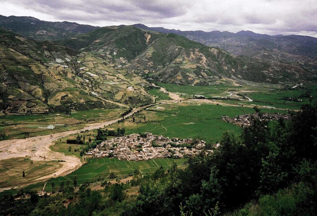
Indiana Dunes National Lakeshore was authorized by Congress after a decades-long environmental effort from regional partners and Openlands' early organizers. ![]()
![]()
![]()
![]()

Peacock Prairie (now James Woodworth Prairie), a rare example of virgin black soil tall-grass prairie, is preserved and eventually deeded to the University of Illinois Chicago.
![]()
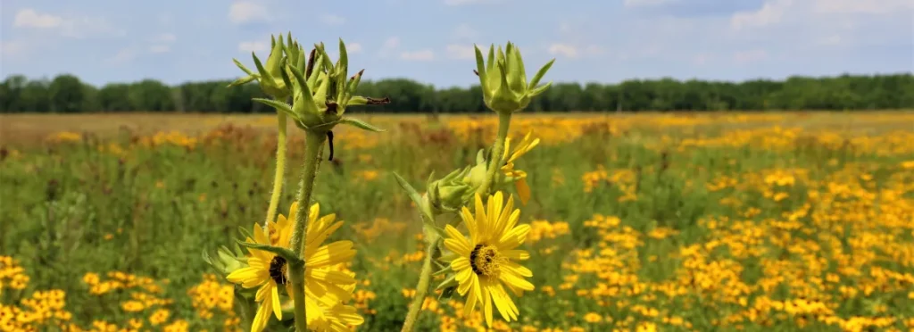
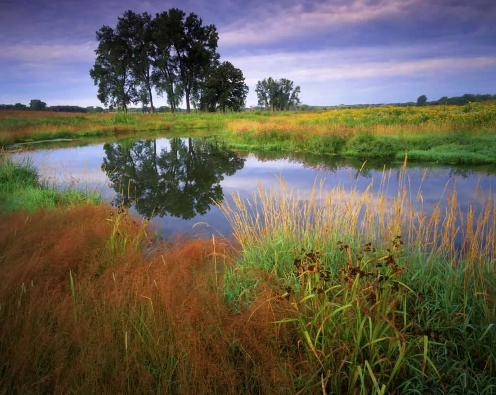
Goose Lake Prairie State Park, the largest remnant tallgrass prairie east of the Mississippi, is established as a State Park and an Illinois Nature Preserve, after lobbying from Openlands. ![]()
![]()
![]()

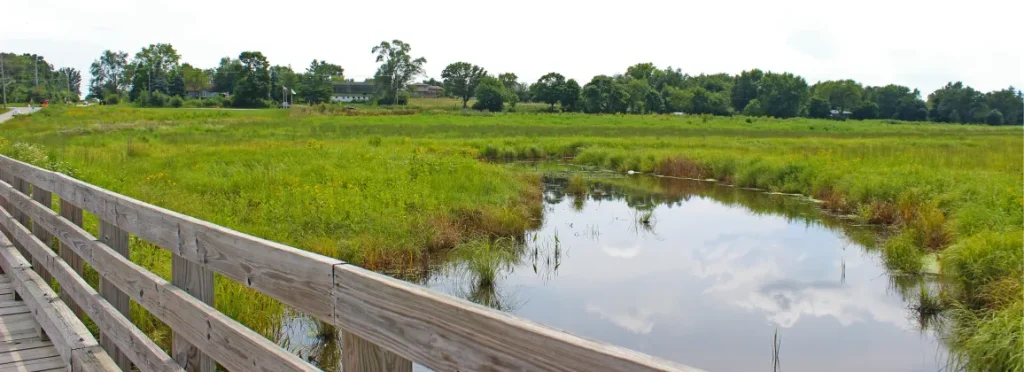
Volo Bog is dedicated as an Illinois Nature Preserve, the only remaining open-water quaking bog in Illinois.
![]()

Openlands launches the Lake Michigan Federation (now Alliance for the Great Lakes).![]()
![]()

Openlands organizes support for a successful referendum to establish the McHenry County Conservation District.![]()
![]()
![]()

Ryerson Woods Conservation Area Nature Preserve was established as a Lake County Forest Preserve and dedicated as an Illinois Nature Preserve.
![]()
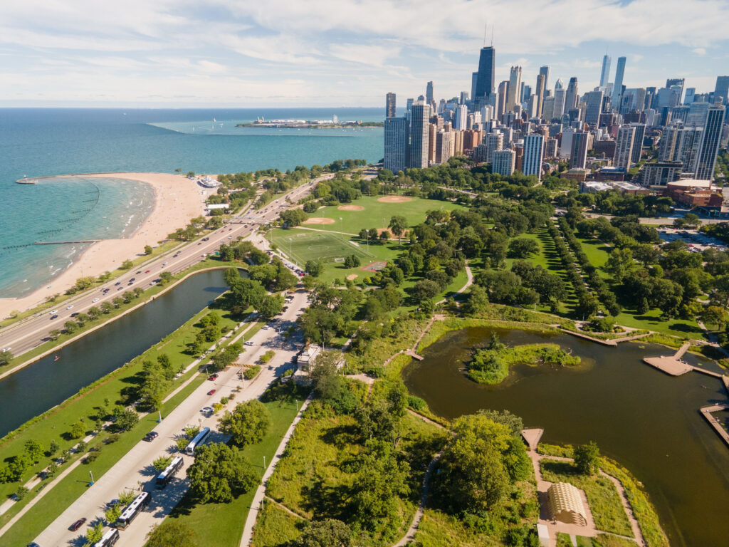
Supported and helped pass the Chicago Lakefront Protection Ordinance, to preserve the lakefront from encroaching development.![]()
![]()
![]()

Openlands resists development plans for Chicago’s recently closed Municipal Tuberculosis Sanitarium site and supports community efforts to preserve it as an open space. This site is now the North Park Village Nature Center. ![]()
![]()
![]()
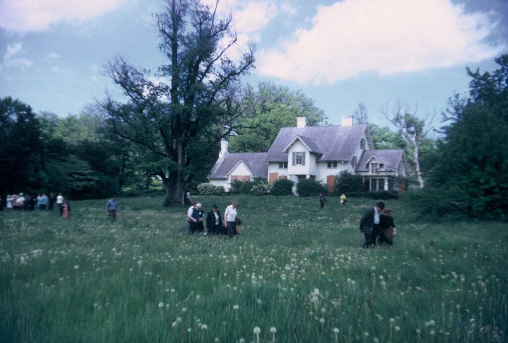
Openlands writes the feasibility study on preserving Kennicott Grove and works with residents and the village of Glenview to begin land acquisition. ![]()
![]()
![]()
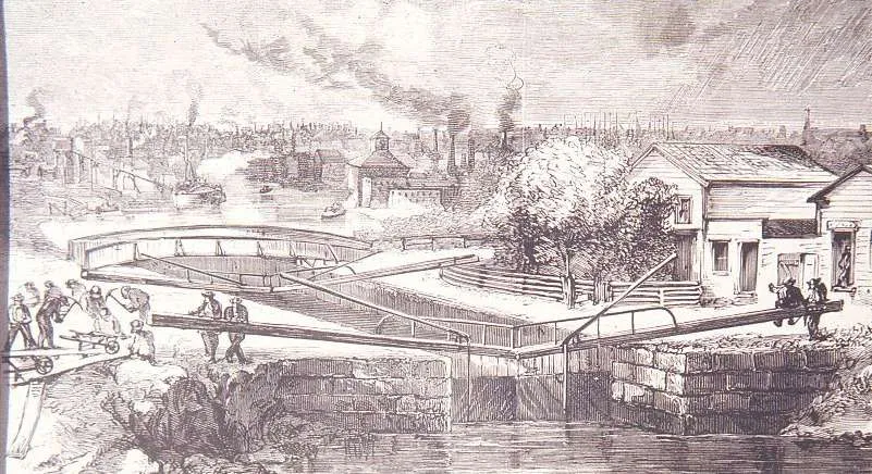
After a ten-year battle supported by Openlands, the Illinois Supreme Court rules against U.S. Steel’s plan to fill in 195 acres of Lake Michigan.![]()
![]()
![]()

Garfield Farm is donated to Openlands, which today serves as a living history museum of Illinois farming practices.
![]()

Thorn Creek Woods is dedicated as an Illinois Nature Preserve after years of collaboration between local advocates and Openlands. ![]()
![]()

Friends of the Chicago River was established as a program of Openlands and has since become an independent organization. ![]()
![]()
Openlands acquires land along the Nippersink Creek, later transferred to McHenry County Conservation District, as part of a long-term effort to restore the Nippersink watershed. ![]()
![]()
![]()
Upper Illinois Valley Association (now Canal Corridor Association) is incorporated to advocate for the creation of the Illinois & Michigan Canal National Heritage Corridor.![]()
![]()
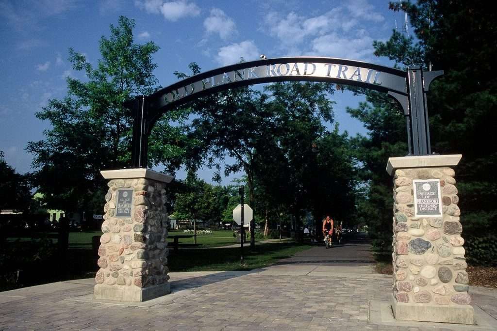
Openlands coordinates and leads a ten-year organizing effort to acquire railroad land to create the Old Plank Road Trail in Will and Cook Counties.![]()
![]()
![]()
An Open Land: Photographs of the Midwest, 1852-1982 exhibit opens at the Art Institute of Chicago, organized by Openlands.![]()
![]()

President Ronald Reagan signs legislation establishing the Illinois & Michigan Canal National Heritage Corridor, the first national heritage area in the nation.![]()
![]()
Openlands and the Illinois Prairie Trail Authority identify potential trails and greenway corridors in northeastern Illinois. ![]()
![]()
Openlands begins the land acquisition and easement program for Liberty Prairie Reserve in Lake County, Illinois.![]()
![]()

Openlands coordinates the first Chicago Christmas Tree recycling campaign.![]()
Openlands acquires the conservation easement to protect natural areas at North Park Village Nature Center.![]()
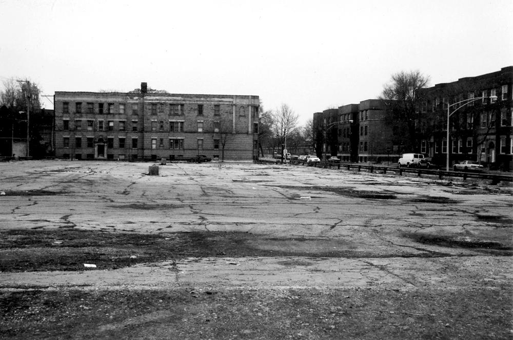
Openlands assembles the first city-wide inventory of vacant lots in Chicago. ![]()
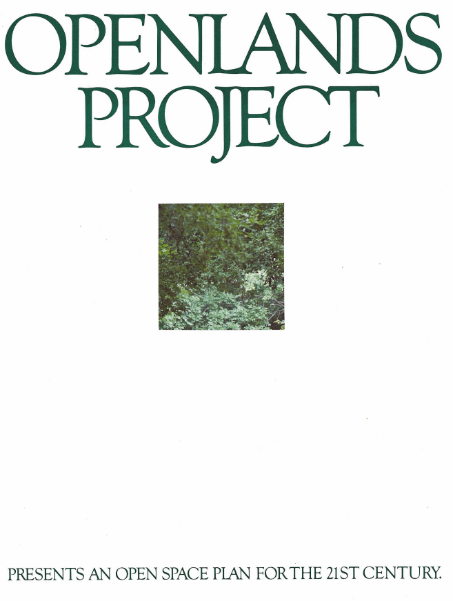
Openlands’ 21st Century Open Space Plan is launched, calling for a new generation of parks and gardens for the city of Chicago and a network of trails and greenways and large reserves of natural areas throughout the region.![]()
![]()

Northeastern Illinois Regional Greenways Plan is published, creating a vision for a network of interconnected corridors of open land.![]()
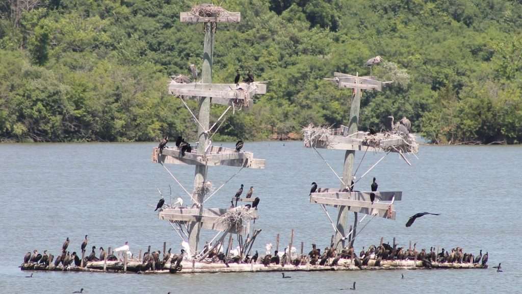
Lake Renwick Heron Rookery in Will Country is protected and dedicated as an Illinois Nature Preserve.![]()
Openlands receives the first American Greenways Award from The Conservation Fund and the National Geographic Society.![]()
![]()
![]()
Fort Sheridan is decommissioned and Openlands advocates for protection of the site’s lakefront bluffs, ravines, and beach areas.![]()
![]()
![]()
![]()
Openlands’ Neighborhood Open Space Planning program was launched, with a focus on underserved Chicago neighborhoods. ![]()
![]()
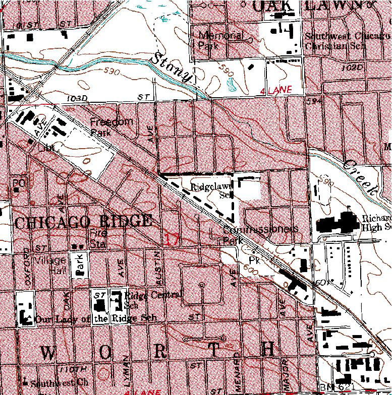
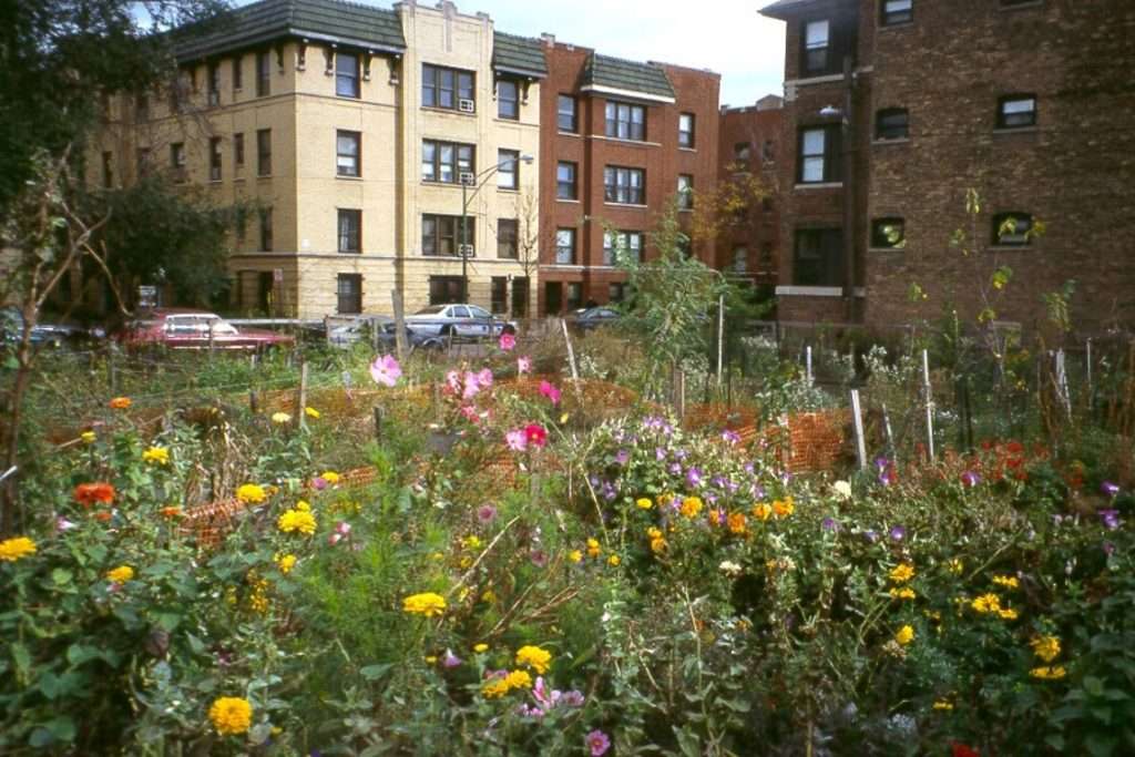
Openlands acquires Chicago Ridge Prairie, a rare calcareous prairie, and now an Illinois Nature Preserve.![]()
Openlands-led Community Land Use Network convinces Chicago to streamline the transfer of abandoned publicly-owned lands for productive uses, including affordable housing and community-managed green space.![]()
![]()
![]()

A partnership between Openlands and the Terra Museum results in an exhibition, Reclamation and Transformation: Three Self-Taught Chicago Artists. The artists David Philpot, Mr. Imagination, and Kevin Orth had transformed a vacant lot adjacent to the Elliott Donnelley Youth Center in Bronzeville. ![]()
Openlands and the Morton Arboretum launch the Treemendous Trees awards program, soliciting nominations for the largest trees of each species in northeastern Illinois, with a potential national champion and four possible state champions identified.![]()
![]()
![]()
President Bill Clinton signs legislation approving the transfer of the northern part of Fort Sheridan to Lake County Forest Preserves.![]()
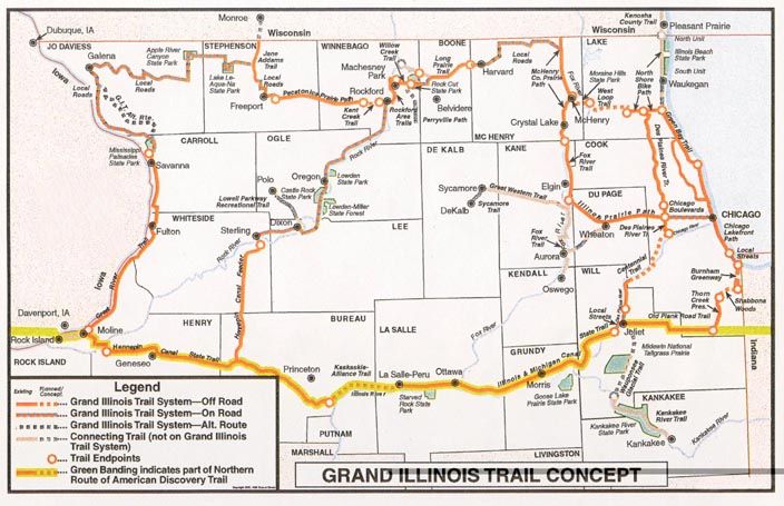
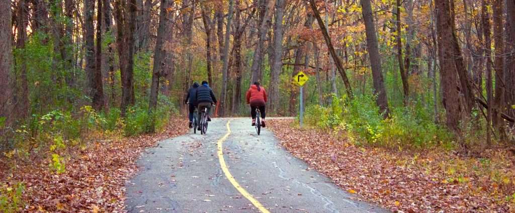
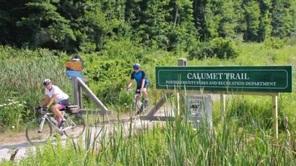
The Illinois Department of Natural Resources opens the Grand Illinois Trail, a nearly 500-mile network of locally-managed routes for hiking and biking, many of which were built with support from Openlands.![]()
![]()
![]()

After leadership and advocacy from Openlands, President Bill Clinton signed legislation to create Midewin National Tallgrass Prairie at the former Joliet Arsenal.![]()
![]()
![]()
![]()

The Chicago Wilderness coalition is launched; Openlands is a founding member.![]()
![]()

Streamleaders program is launched to train volunteers to monitor stream quality and advocate for streams in the region.![]()
![]()
Openlands acquires Burnham Greenway to close a major trail gap between Chicago and south-suburban Burnham.![]()
![]()
![]()

Burnham Greenway Master Plan is published by the Forest Preserves of Cook County with assistance from Openlands.![]()
![]()
The updated Northeastern Illinois Regional Greenways & Trails Plan is published, greatly expanding the recommended regional greenways network.![]()
![]()

Terry Evans photography exhibit, In Place of Prairie, opens at the Art Institute of Chicago as part of Openlands’ 35th Anniversary celebration. ![]()
![]()
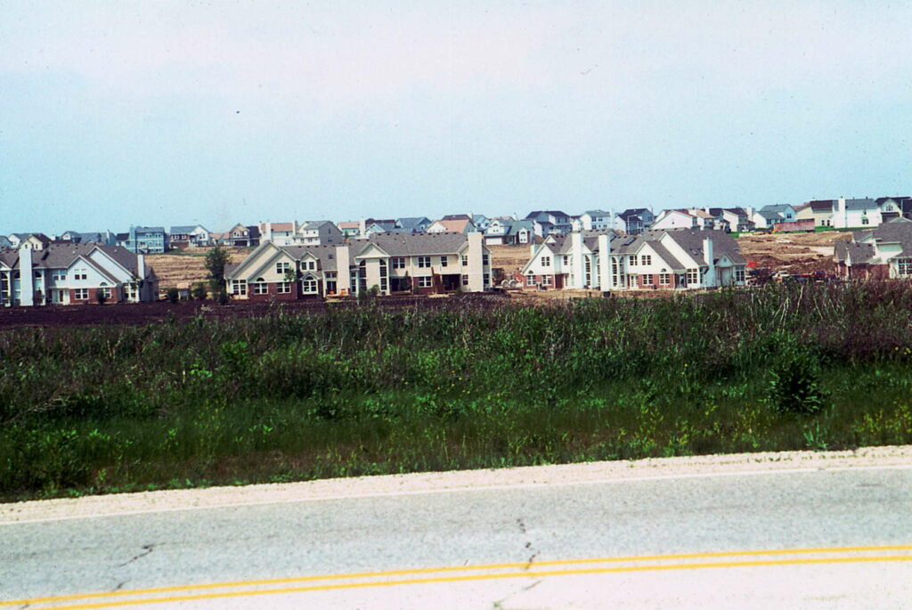
Openlands releases extensive mapping project and report, “Losing Ground: Land Consumption in the Chicago Region, 1990–1998,” showing the threat of urban sprawl in the previous decade.![]()
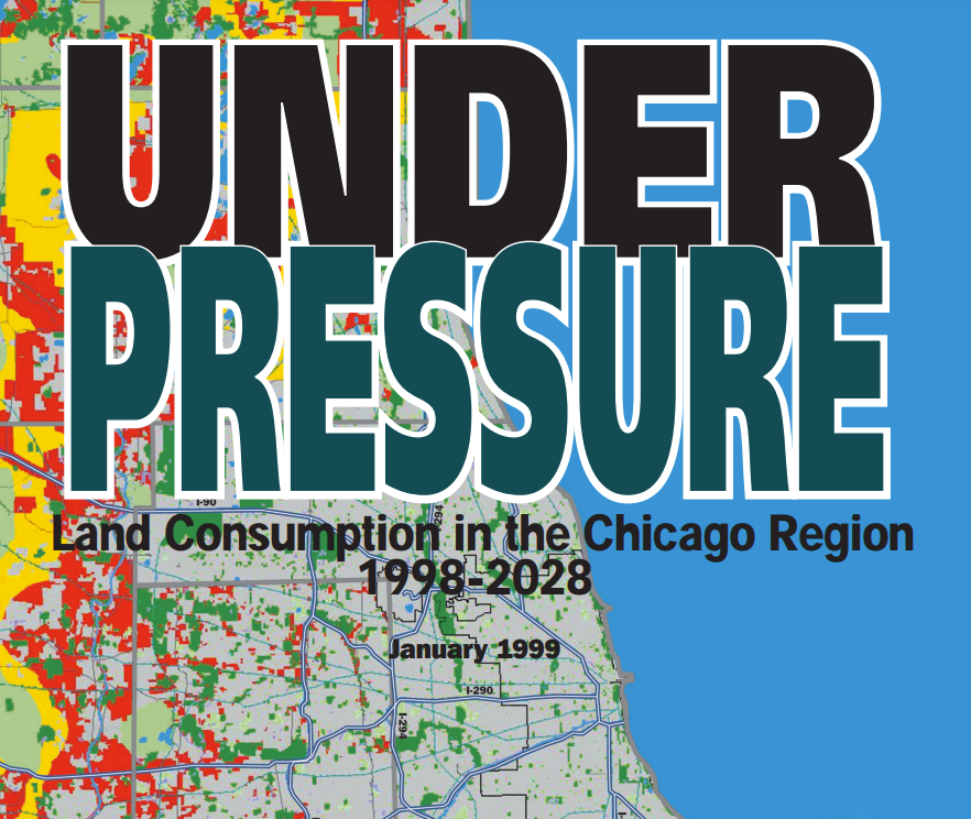
A second Openlands mapping effort and report, “Under Pressure: Land Consumption in the Chicago Region 1998–2028,” describes the harmful effects of current trends in unchecked development.![]()
Northeastern Illinois Regional Water Trails Plan which outlines a coordinated system of water trails for non-motorized boating written by Openlands, the Illinois Paddling Council, and Northeastern Illinois Planning Commission, is adopted.![]()
![]()
Openlands participates significantly in the production of the Calumet Area Land Use Plan, a major milestone in creating and protecting open space in the Lake Calumet region.![]()
![]()
![]()
![]()
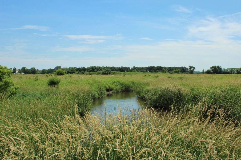
Openlands, the Forest Preserves of Cook County, the Chicago Audubon Society, and the U.S. Army Corps of Engineers begin the restoration of Tinley Creek Wetlands and Bartel Grasslands.![]()
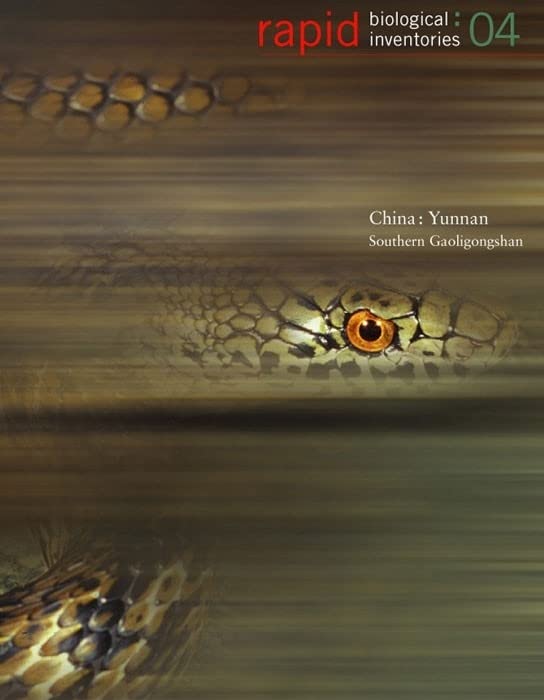
Openlands partners with the Field Museum, Center for US-China Arts Exchange, Southwest Forestry College (Kunming), Gaoligongshan Natural Reserve Management Bureau, Yunnan Provincial Association for Cultural Exchanges with Foreign Countries, and Skidmore, Owings & Merrill on the publication, Rapid Biological Inventories: 04. China: Yunnan, Southern Gaoligongshan.![]()
![]()

President George W. Bush signs legislation authorizing the transfer of 77 acres at the former Fort Sheridan to Openlands for permanent protection. ![]()
Revealing Chicago: An Aerial Portrait exhibit opens at Millennium Park with photographs by Terry Evans commissioned by Openlands and Chicago Metropolis 2020.![]()
![]()
Openlands begins extensive wetlands restoration at five public sites in the region funded through the O’Hare Modernization program.
![]()
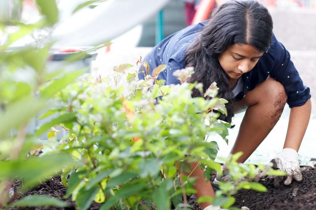
Building School Gardens program is launched in partnership with Chicago Public Schools to create gardens as teaching spaces and provide training for teachers and administrators.![]()
![]()
![]()
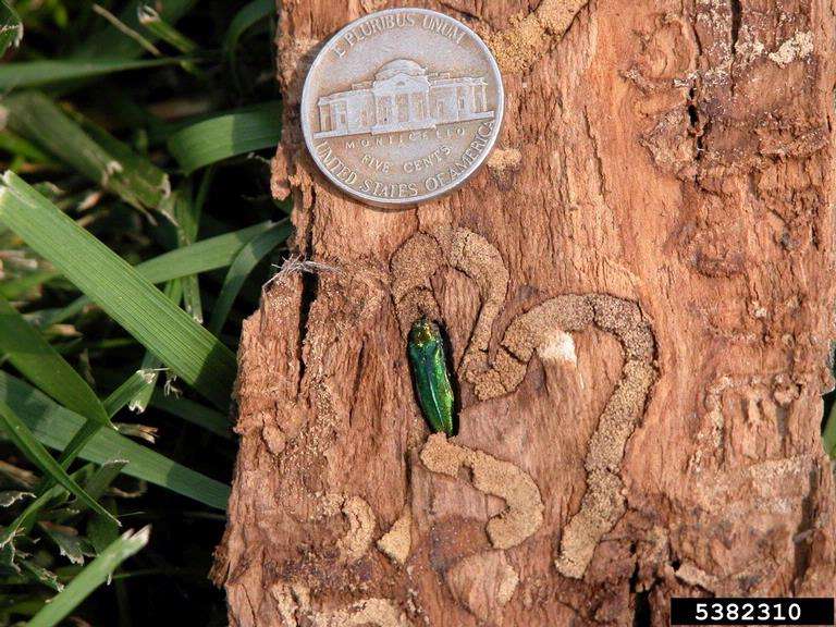
Emerald ash borer beetles are first detected in Chicago and TreeKeepers are trained to monitor the spread of the infestation.
Image by Eric R. Day![]()
![]()
Northeastern Illinois Water Trails Map is updated and published.![]()
![]()
Openlands begins restoration work at Deer Grove East, working closely with the Forest Preserves of Cook County and the U.S. Army Corps of Engineers and other partners, the start of a seven-year effort funded by the O’Hare Modernization program.![]()
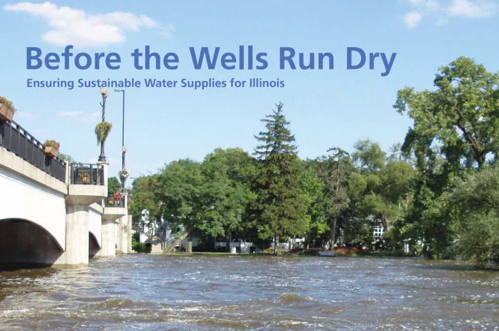
Before the Well Runs Dry: Ensuring Sustainable Water Supplies for Illinois is published as a joint initiative of the Metropolitan Planning Council and Openlands, calling for long-term planning for sustaining the state’s finite and fragile water supplies.![]()
![]()
Openlands partners with Columbia University, the Field Museum, and Skidmore, Owings & Merrill on the report Sustainable Development: Opportunities and Challenges for Yunnan Province, published by the Center for US-China Arts Exchange.![]()
![]()

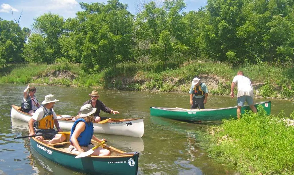
The eighty-five mile Kankakee River water trail is mapped and opens in Indiana.![]()
Openlands and the Northwestern Indiana Regional Planning Commission bring together 11 communities in Illinois and Indiana to create the cross-border Calumet Connections regional trail system.![]()
![]()
![]()
Hackmatack National Wildlife Refuge is authorized by the U.S. Department of the Interior; Openlands acquires the first property for the refuge.![]()
![]()
![]()
![]()
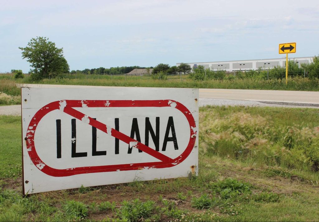
Openlands organizes a coalition of 30 partners to oppose the proposed Illiana Tollway and protect regional open space treasures such as Midewin National Tallgrass Prairie. ![]()
![]()
![]()
![]()

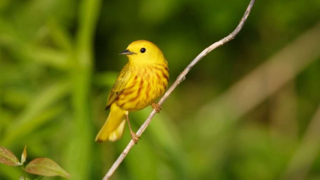
Birds in My Neighborhood program is established to bring birding to elementary school children across the region.![]()
![]()

The Land Trust Alliance awards accreditation to Openlands for meeting the highest national standards for excellence and conservation permanence. ![]()
![]()
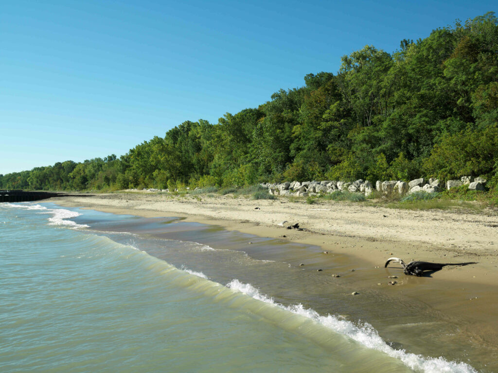
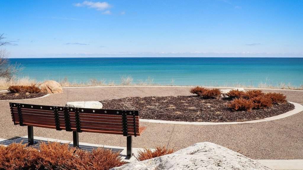
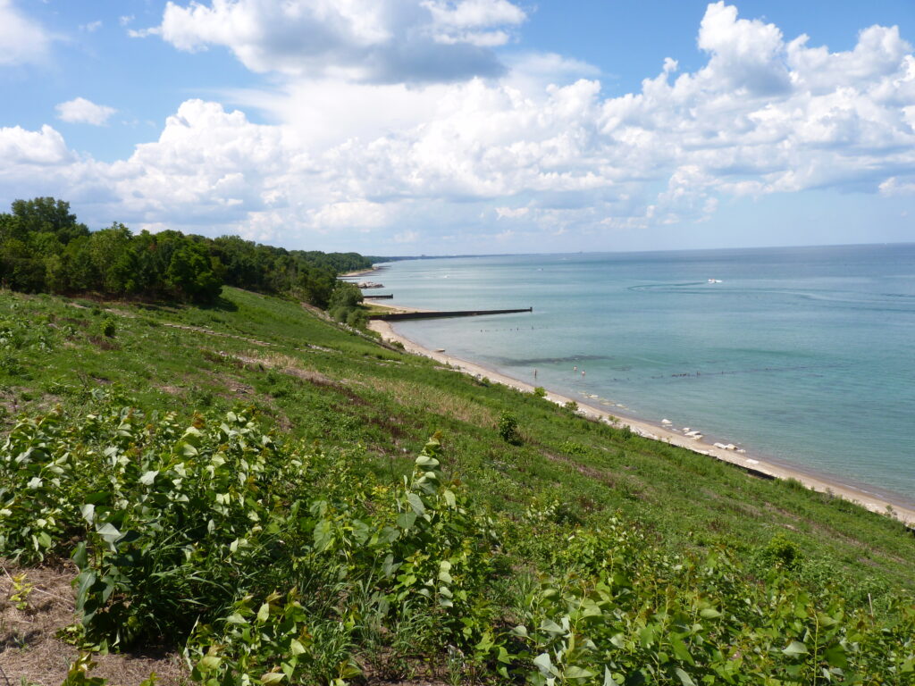
Openlands Lakeshore Preserve is dedicated as an Illinois Nature Preserve. ![]()
![]()

Openlands launches the Urban Forestry Initiative to plant 5,000 trees on public land in Chicago with seed funding from the John D. and Catherine T. MacArthur Foundation.![]()
![]()
![]()
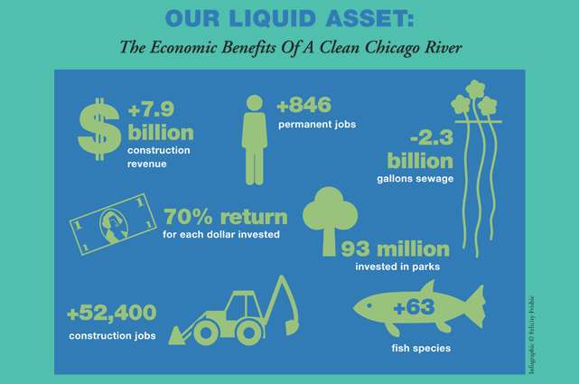
Openlands published a study with Friends of the Chicago River caked “Our Liquid Asset: The Economic Benefits of a Clean Chicago River.”![]()
![]()

The Chicago Region Trees Initiative is launched by The Morton Arboretum and Openlands, with partners from other leading organizations, to build a healthier and more diverse urban forest by 2040.![]()
![]()
![]()

Openlands launches the TreePlanters grant program to support communities that organize neighbors to plant new trees and care for them.![]()
![]()
![]()

The Next Century Conservation Plan, written in partnership with Openlands and Metropolis Strategies, is formally accepted by the Forest Preserves of Cook County.![]()
![]()

Openlands and Healthy Schools Campaign launch Space to Grow to transform Chicago schoolyards through green infrastructure, with capital partners Chicago Public Schools, Chicago Department of Water Management, and the Metropolitan Water Reclamation District of Greater Chicago.![]()
![]()
![]()

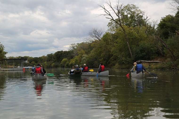
Openlands launches Paddle Illinois Water Trails, an interactive digital guide for canoeing and kayaking on the waterways of northeastern Illinois.![]()
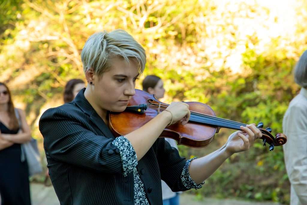
Openlands partners with Specktral Quartet for the world premiere of composer Tonia Ko’s Plain, Air at the Openlands Lakeshore Preserve, which inspired the music.![]()
Openlands launched the Get Outside Map, a comprehensive tool for connecting people to parks, preserves, natural areas, and trails in the region.
![]()

Openlands with community partners debut the African American Heritage Water Trail along the Little Calumet River.![]()
![]()
![]()

After a multi-year advocacy effort by TreeKeepers and others, an Urban Forestry Advisory Board ordinance is passed in Chicago City Council. ![]()
![]()
![]()
![]()
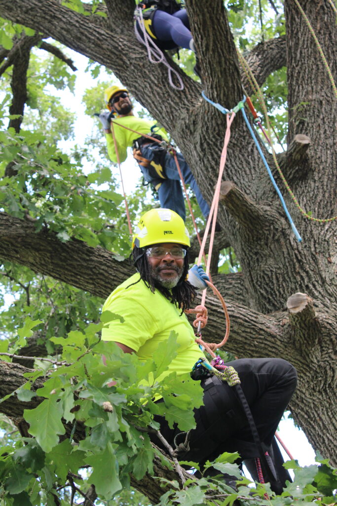
The Arborist Registered Apprenticeship program is created as a workforce development program to produce skilled arborists.![]()
![]()

Openlands runs the first Treekeepers course in Spanish.![]()
![]()

Openlands participates in a planning process to re-envision Chicago’s Museum Campus as an urban nature retreat and contributes to the report “Where Worlds Connect.” ![]()
![]()
With partners in Cook County, Openlands leads the successful passage of the “Vote Yes for Clean Air, Clean Water, and Wildlife” referendum to invest $45 million in supporting the Forest Preserves of Cook County to implement The Next Century Conservation Plan.![]()
![]()
![]()
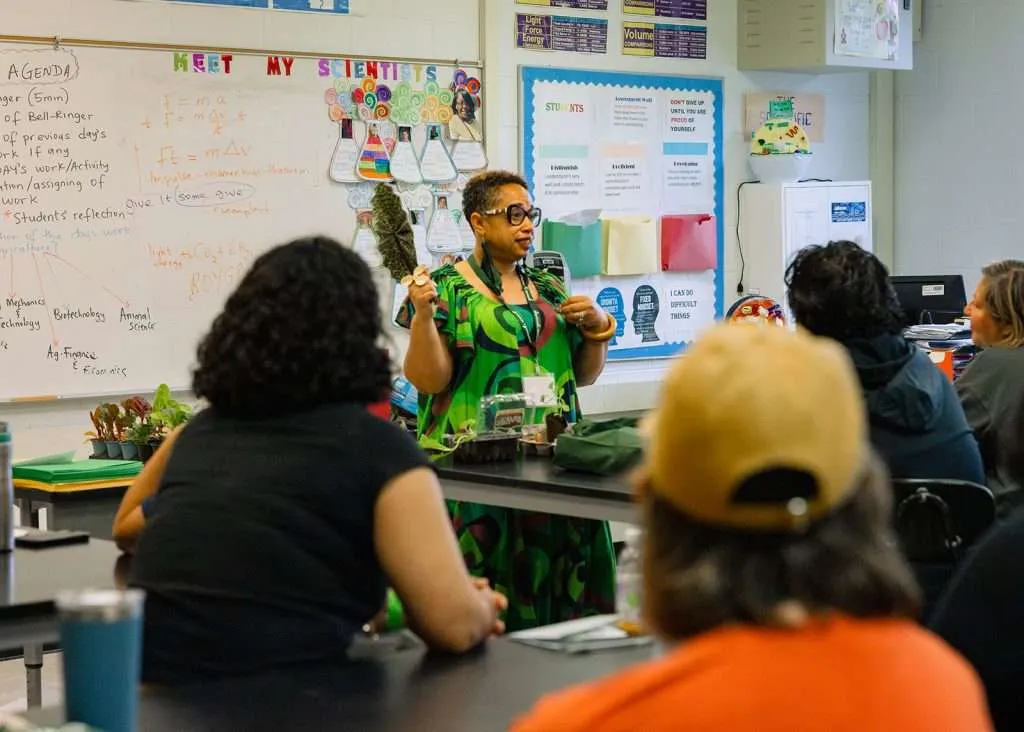
Openlands hosts the first Green and Growing Summit, a gathering of educators around the Chicago region to advance garden and nature-based education.![]()
![]()
![]()

Openlands Lakeshore Preserve is transferred to the Lake County Forest Preserves for long-term preservation.![]()
![]()