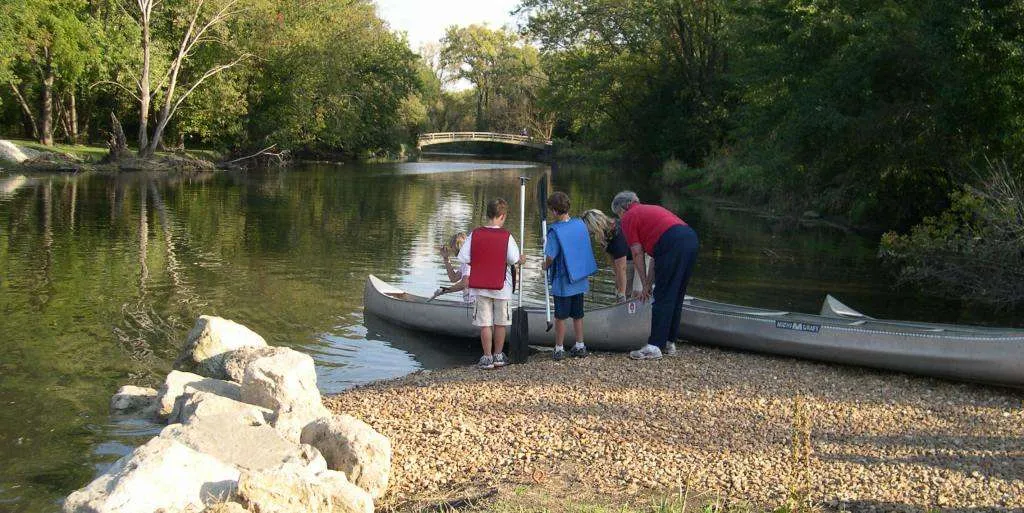
Directions: Riverside Parkway is located west of the I-55 frontage road, just south of Caton Farm Road. Exit the interstate at Route 30 west, and follow the frontage road south, along the highway. McEvilly Road crosses the Dupage River just east of Minooka. The takeout is located river left upstream of the road crossing.
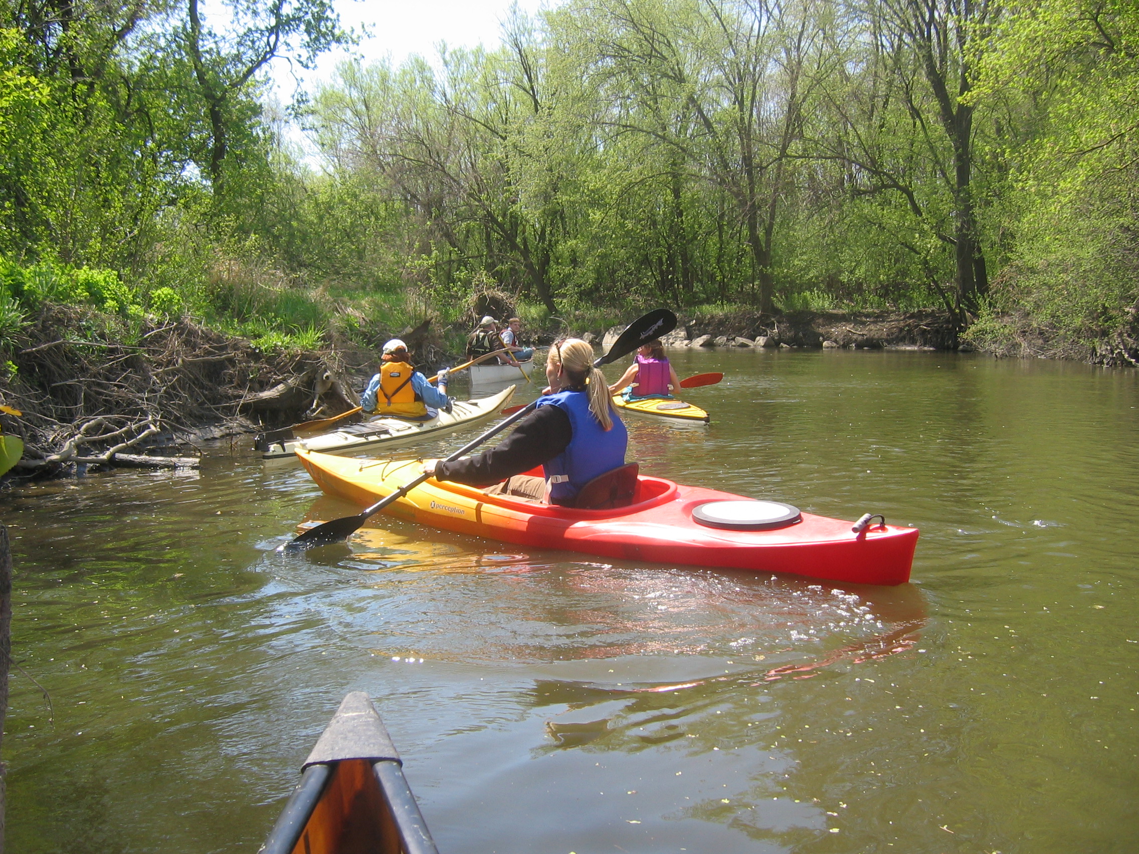
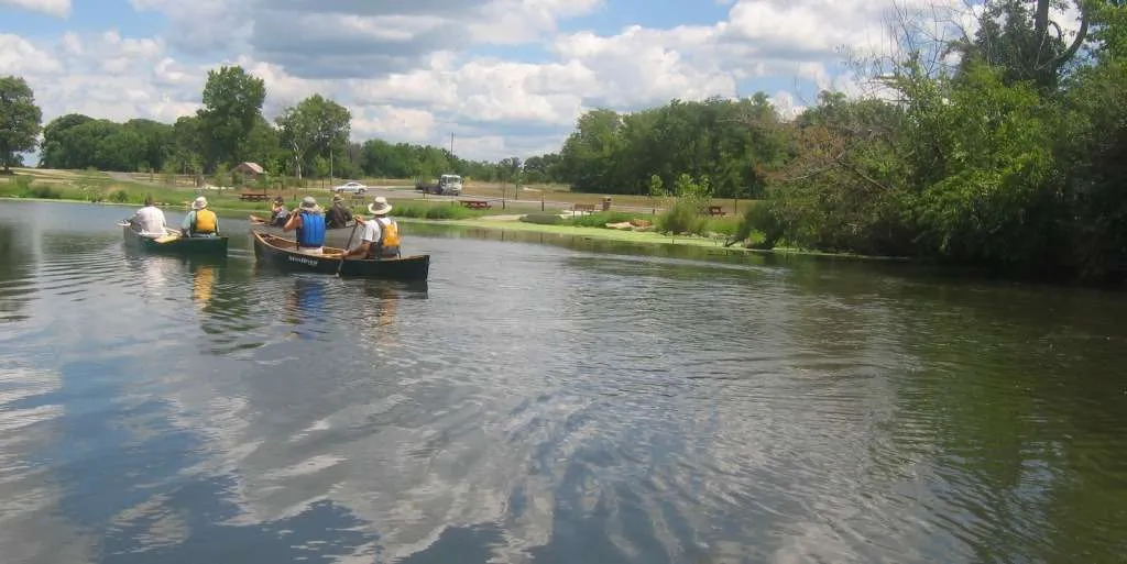
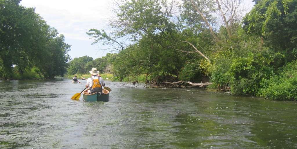
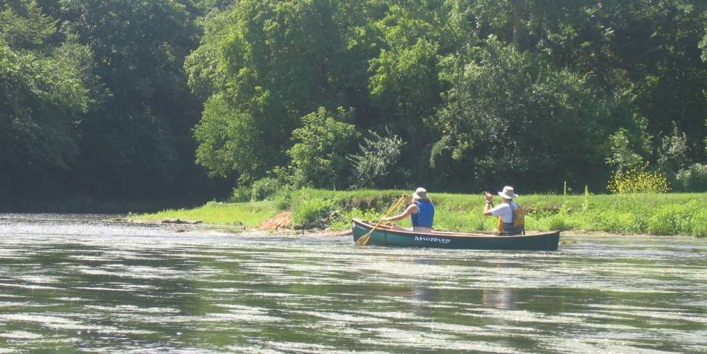
Notes: A favorite of early-season thrill-seekers, this stretch produces Class II rapids after a good rain. Many whitewater beginners practice surfing in the standing waves near Shepley Road. This is some of the best intermediate paddling northeastern Illinois and the surrounding region has to offer.
Always check United States Geological Survey (USGS) water data before your trip.

2 thoughts on “Riverside Parkway to McEvilly Road”
I’ve been trying to locate Riverside Parkway as I plan for future kayaking trips. Is it the same as the Rivertowne Parkway Canoe Launch?
Thank you!
Bonn
Yes indeed Bonn, they are one in the same. As of May 2023 there is small sign at the entrance of the road leading to Plainfield Park District’s Riverside Parkway Canoe Launch. Though, as you may have noticed, Google Maps labels the site as Rivertowne Parkway Canoe Launch in September 2023. Thanks for bringing this to our attention, we’ve reached out to Google regarding their basemap and suggested labeling the launch as it as signed.