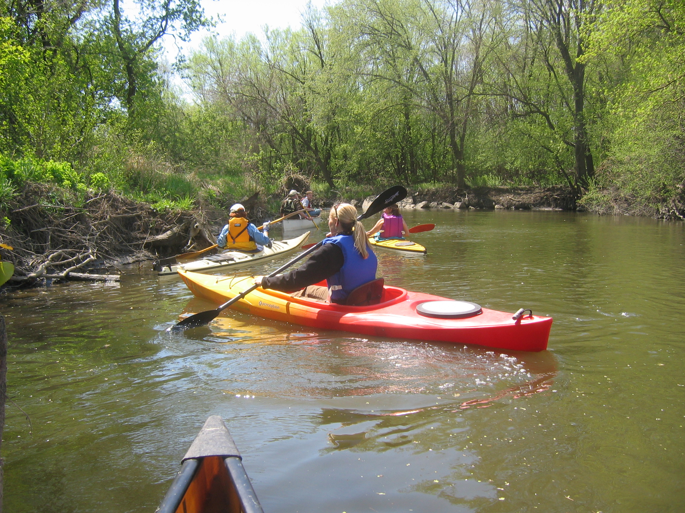
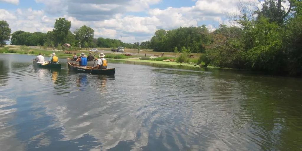
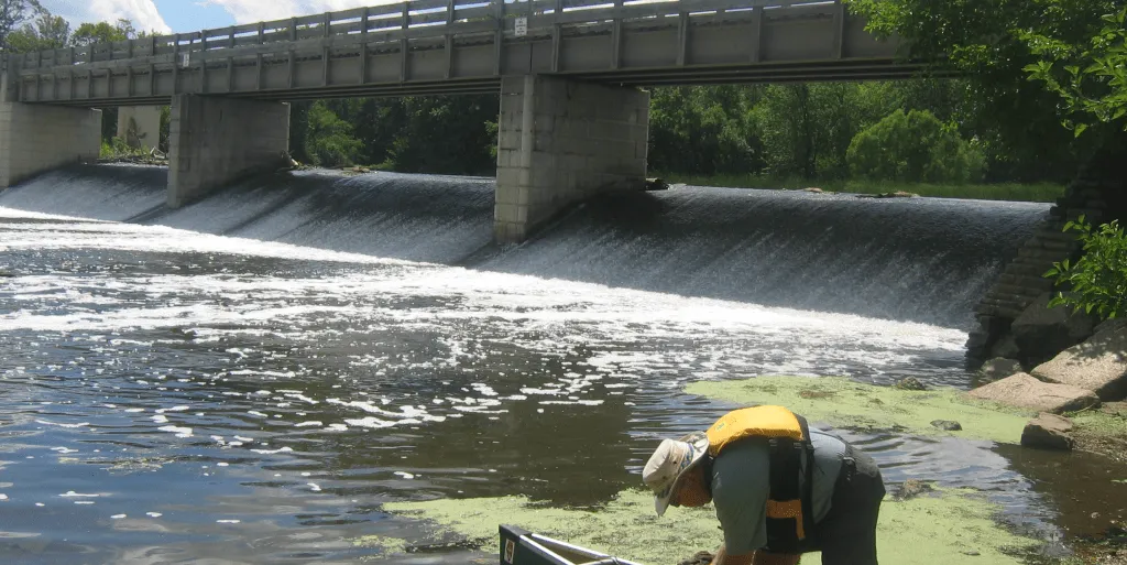
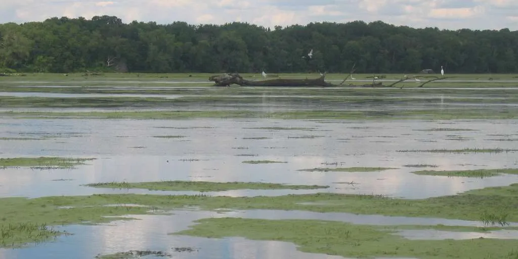
Share

DuPage River Trails

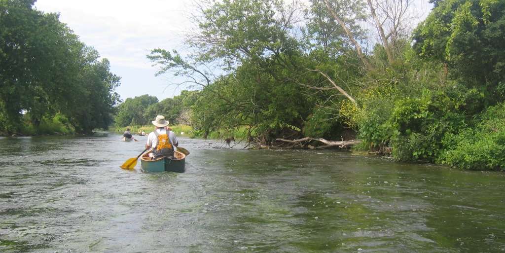
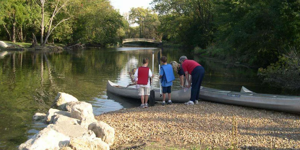
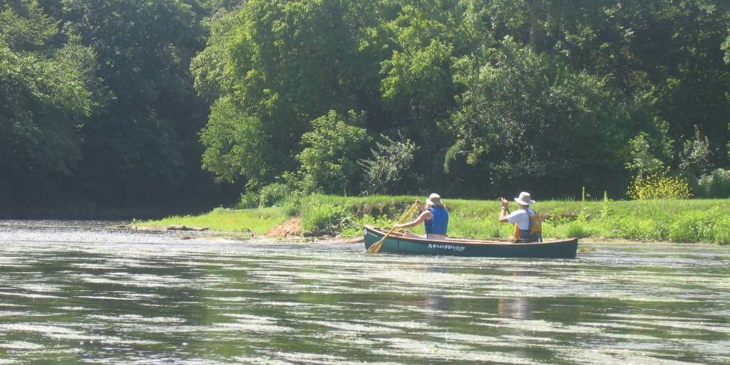
The DuPage River is a small-to-medium sized stream flowing north to south through DuPage and Will counties and ending at its confluence with the Des Plaines River in Channahon. The DuPage consists of east and west branches which meet south of Naperville. Together, they make up eighty-four miles of waterway that drain a watershed of 326 square miles.

Share

The East Branch is largely channelized, and the West Branch is mostly natural and meandering. Scenery along its East and West branches is mostly suburban with low grassy banks, while the DuPage mainstem is mostly rural. The lower part of the West Branch has several developed canoe launch sites. However, both branches are shallow in their upper stretches and occasionally difficult to paddle due to low water in the summer months.

The upper stretches of both branches run through residential neighborhoods. The upper East Branch resembles a channelized drainage ditch more than a potential recreational resource. Therefore, the upper sections of both branches are not recommended as water trails.

West Branch—Beginning at West Branch Forest Preserve, near Carol Stream, the West Branch flows through a number of DuPage County Forest Preserves. The Forest Preserve District is developing a greenway along its banks to protect the river from development and to provide a peaceful, wildlife-rich experience for paddlers. Log jams across this narrow stream and shallow stretches are occasional obstacles.

Lions Park on Beecher Road in Winfield is the first developed canoe launch. It is followed downstream by five more developed launch sites before the DuPage’s confluence with the East Branch.

East Branch—The usually canoeable part of the East Branch begins south of Warrenville Road in Lisle. A narrow stream through most of its length, the river flows through a city park in Lisle and Greene Valley Forest Preserve between Woodridge and Naperville. There are currently two developed launch sites on the East Branch, one at DuPage River Greenway and one at Hidden Lakes Historic Trout Farm. An access at Lisle Community Park is proposed.

DuPage River Mainstem—The confluence of the two branches is approximately 0.5 miles downstream of the public landing in Knoch Knolls Park on the south side of Naperville. There are several access points on the mainstem, beginning with the Will County Forest Preserve’s Riverview Farmstead (111th Street). Plainfield Park District has created two access points downstream at Eaton Preserve (135th Street) and Riverside Parkway (just south of Caton Farm Road). Hammel Woods Forest Preserve in Shorewood provides an access site at the dam on the north side of Route 52. Downstream, a short section (approximately 0.5 miles) located between I-80 and Shepley Road, west of Channahon, has a gradient of 10 feet per mile, which at higher water levels creates an exciting set of rapids for white water enthusiasts! The villages of Channahon and Minooka have recently installed a canoe launch at McEvilly Road.

Note: There is a dam at Channahon, and a portage around the dam is on river left. Downstream of the dam, just before the confluence of the DuPage and Des Plaines Rivers, the Forest Preserve District of Will County has created a launch at McKinley Woods–Kerry Sheridan Grove.

We give a special thanks to paddler Allie Mouche who assisted Openlands by reporting conditions along the DuPage River as we prepared this guide.

Scroll to Top

This Earth Month, we’re inviting you to go All In for Nature with Openlands.

Every donation will be matched up to $50,000. That means your gift goes twice as far to protect the natural spaces we cherish close to home.