Share

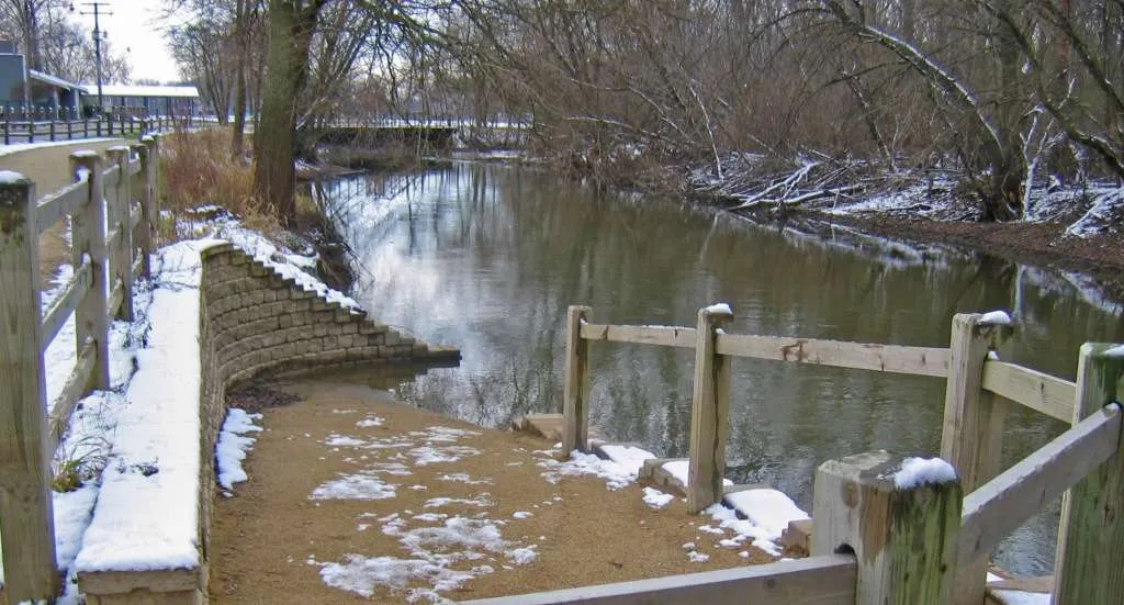
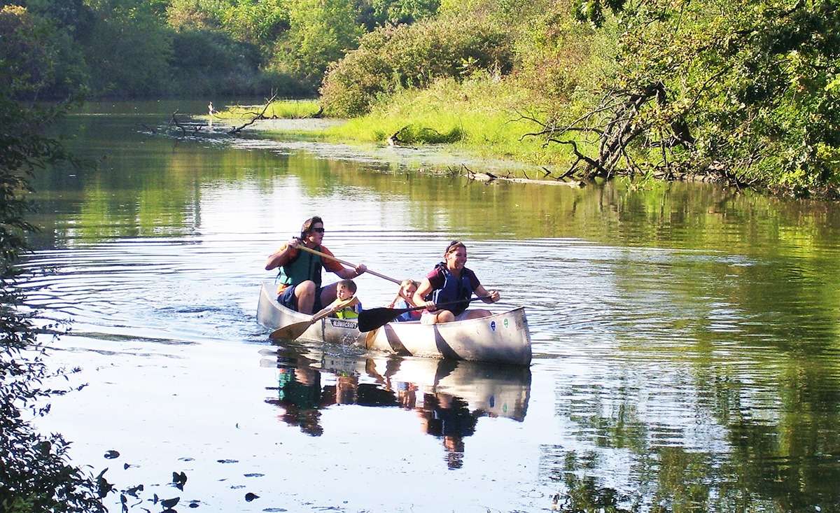
Des Plaines River Trails

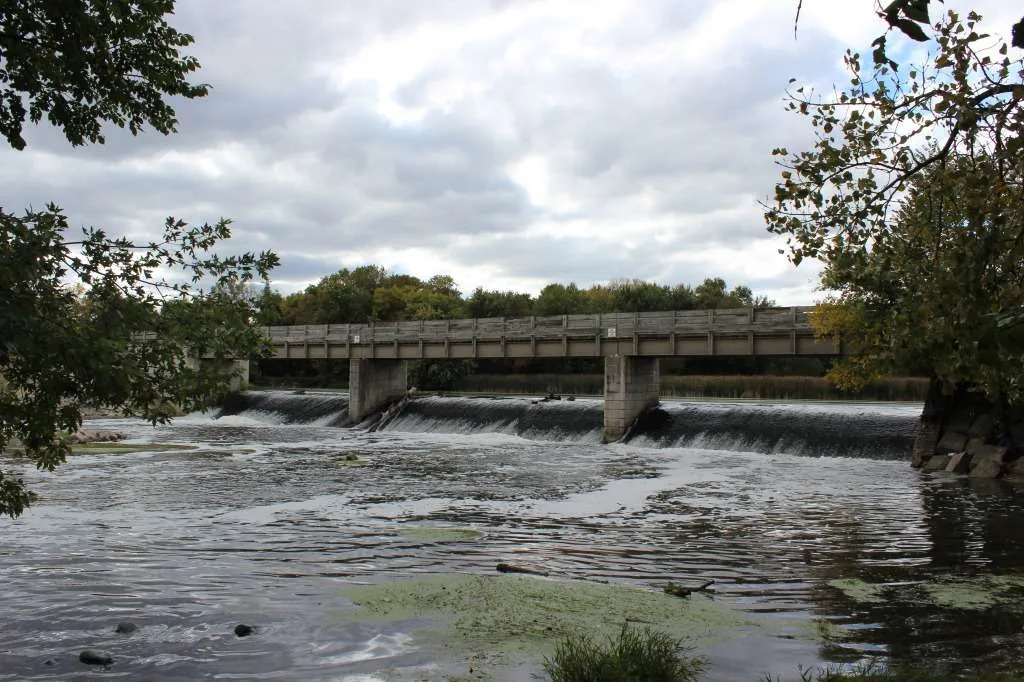
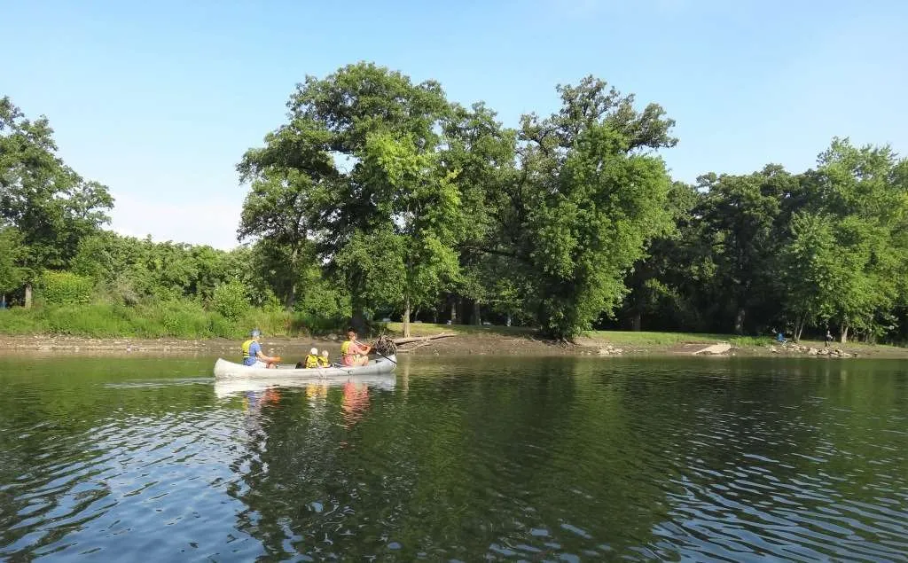
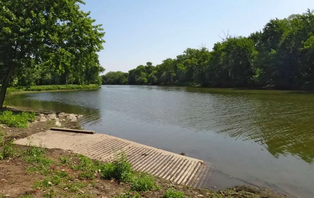
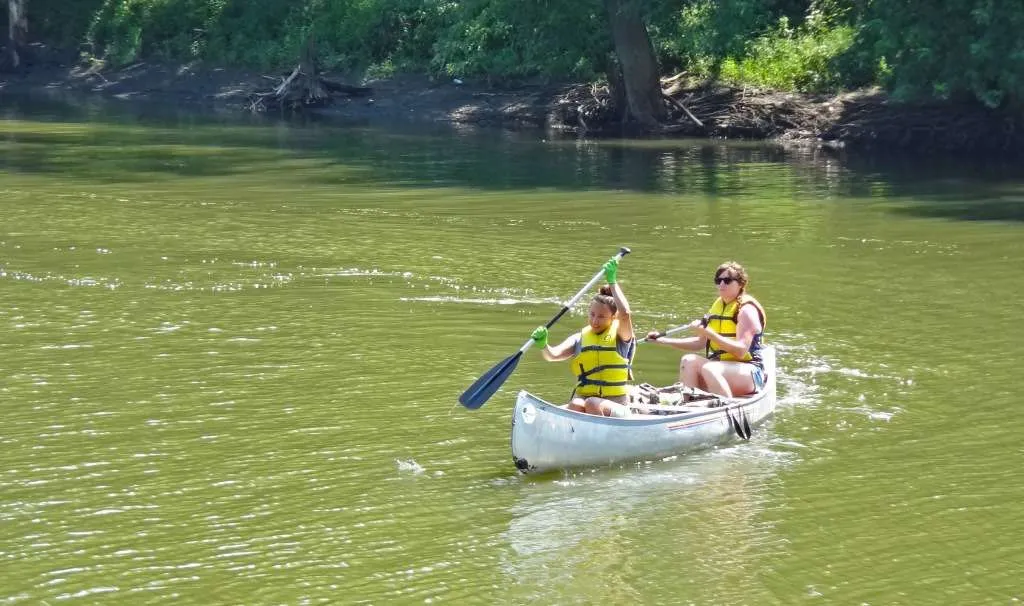
The Des Plaines River begins in Racine County, Wisconsin and flows south into Illinois as a small prairie stream. It runs approximately 95 miles through four counties in Illinois to its confluence with the Kankakee River at Channahon, where it forms the Illinois River. Along the water trail, it changes its character (and legal classification) from a prairie stream to a large urban river, and then to a major industrial waterway.

Share

Fortunately for recreational users, Lake and Cook County Forest Preserve Districts have protected long stretches of the river by developing a Des Plaines River greenway and bike path along its banks. They are in the process of implementing a plan to link all the forest preserves with a regional greenway trail, and have developed and promoted the recreational use of the river by creating canoe launch sites on the northern and middle section of the river. The lack of trailered-boat ramps makes this long river a quiet, beginner, and family-friendly river, free of noise and the challenges of coping with powered boat use. Depending on water levels in the Lake County portion, however, additional portages may be required.

Lake County Forest Preserves offers canoe and kayak safety instruction.

North Section—From the Wisconsin state line at Russell Road in Lake County to the Allison Woods Canoe Launch in northern Cook County, a number of developed canoe launches and undeveloped access sites form the basis of the trail system.

Middle Section—Through much of the Cook County section of the river, high banks and no official launch sites make the river more difficult to access. However, the Forest Preserves of Cook County has improved the launch at Dam 2, and has created launches at Northwestern Woods and Irving Park Road, improving access to this portion of the river.

New Launch at Maywood Grove—Forest Preserves of Cook County has opened a new access point to the Des Plaines River for canoes and kayaks! The new launch is located on the western bank of the Des Plaines at Maywood Grove Forest Preserve in Maywood. We are thrilled to see the new launch as it will improve access to the river for so many paddlers!

As the paddling movement grows locally, it is so important to have easy access to the rivers for first-time paddlers and experts alike. The new launch at Maywood Grove is an accessible way for everyone to experience a river that has had an immense impact on shaping both our region, and its landscapes and geology. The Forest Preserves also use this launch for a community paddling program in the Maywood area.

Lower Section—Of particular interest in this section is the historic Isle a la Cache. Here, on an island near Romeoville, a Will County Forest Preserve District canoe landing and museum make an interesting stop for a trip on the lower section. Safety considerations around the Metropolitan Water Reclamation District controlling works at Lockport, industrial barge traffic downstream of the confluence with the Sanitary and Ship Canal of the Illinois Waterway, and the Brandon Locks in Joliet make this last section of the river more difficult to develop for general public recreational use.

Until very recently, the Des Plaines River had over ten dams along its length. Originally installed for purposes related to agriculture, recreation, and sanitation, the dams created a safety hazard for paddlers, impeded the passage of aquatic life, and lowered water quality. The Des Plaines is now returning to a free-flowing river as these dams are removed.

Scroll to Top

This Earth Month, we’re inviting you to go All In for Nature with Openlands.

Every donation will be matched up to $50,000. That means your gift goes twice as far to protect the natural spaces we cherish close to home.