Share

Chicago River Water Trails

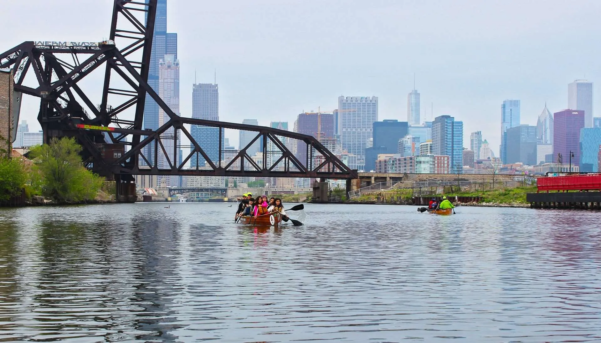
The Chicago River is a long, diverse waterway that begins in Lake County. It includes the Skokie River, Skokie Lagoons, the West and Middle Forks of the North Branch, the North Shore Channel, the North Branch, the North Branch Canal (the east channel around Goose Island), the Main Branch in the downtown area of the city, the South Branch, the South Fork of the South Branch (Bubbly Creek), and the Sanitary and Ship Canal leading to the National Historic Site of the Chicago Portage Area around 47th Street and Harlem Avenue, southwest of the city. Its location between the Great Lakes and the Mississippi River watersheds is one reason why Chicago became the second largest non-coastal city in North America.

Share

Boathouses: The City of Chicago has recently completed four boathouses on the Chicago River, aimed at revitalizing the Riverfront. The boathouses are located at River Park and Clark Park on the North Branch, and at Ping Tom Park and Park #571 at the confluence of the South Branch and Bubbly Creek. The boathouses at River Park and Ping Tom Park are geared toward kayaking, and include rental and storage facilities. The boat houses at Clark Park and Park #571 include rowing facilities, and rentals are available at Clark Park. All boathouses include public docks that can be used for launching canoes and kayaks.

Skokie Lagoons: Converted by the Civilian Conservation Corps into a series of hand-dug lagoons in the 1930s, this large wetland area near Wilmette and Glencoe offers nearly seven miles of waterways, which provide a unique refuge for deer, waterfowl, and non-motorized boating. The Chicago River Water Trail begins at a boat ramp into the lagoons just south of Tower Road. Chicago River Canoe and Kayak offers rentals for use on the lagoons.

North Branch: Beginning at the Willow Road Dam that creates the Skokie Lagoons, the Skokie River or East Fork of the North Branch flows south and east toward the city. Almost entirely protected by Cook County Forest Preserves, it provides a quiet opportunity to enjoy nature in an otherwise highly developed suburban and urban area.

At River Park on the city’s north side is the confluence of the North Branch and the North Shore Channel. This is where the North Branch becomes navigable for power boats. The North Branch becomes a wide, highly engineered river flowing southeast through the neighborhoods of the city toward the downtown area. The stretch of water trail between the Chicago Park District’s canoe launch at River Park and their launch at Clark Park, approximately two miles downstream, is a very popular stretch of trail, especially for beginners. Both River Park and Clark Park offer canoe and/or kayak rentals.

Dam Removal at River Park: Demolition of the dam on the North Branch Chicago River at River Park in 2018 included removal of the dam, replacing it with riffles and gravel, and native plantings on the banks. Paddlers no longer need to portage around the dam site and can enjoy the natural scenery at the site!  The removal of the dam also benefits aquatic life by establishing fish passage and reconnecting the river system.

North Shore Channel: The North Shore Channel is a man-made waterway that extends northward from River Park, just south of Foster Avenue, to the Wilmette Locks at Lake Michigan near the Baha’i Temple. This straight canal with a slow current and few power boats is ideal for race practice, newer paddlers, and rowing shells. The Skokie Park District has created a boat access in a park on Oakton Street and the City of Chicago has created access at Lincoln Village.

**Paddlers should be aware that approximately two miles south of the Oakton Street access on the North Shore Channel, the Devon aeration station presents a hazard. When operating, three blowers force air into injectors on both sides of the channel. Do not paddle in the aerated water. It reduces the buoyancy of both boats and people and the currents can result in conditions equal to Class 3 whitewater. Paddlers are advised to turn around and head back the way they came before reaching this station.

Main Branch: Some of the tallest buildings in the world line the river in the downtown area. They create canyons of monumental proportions when seen from the water. History, architecture, industry, commerce, civil engineering, and hundreds of thousands of people come together to create an unparalleled paddling experience. Commercial and power boat traffic make this stretch of the river a place for more experienced paddlers.

South Branch: The river continues south from the downtown area toward Cermak Road where it turns southwest to its confluence with Bubbly Creek. From this point downstream, concrete and steel bulkhead walls line much of the riverbank and, along with increased industrial barge and power boat traffic, make this stretch of the river a place for more experienced paddlers. The Chicago Park District completed river access projects at Ping Tom Park, S. Western Avenue, and Park #571 (28th & Eleanor).

When paddling this river, keep in mind that although water quality has improved over the last several decades there are still bacteria and other pollution in these rivers. Remember to wash your hands before eating or touching anything that will go in your mouth and to keep open wounds clean and dry.

Scroll to Top

This Earth Month, we’re inviting you to go All In for Nature with Openlands.

Every donation will be matched up to $50,000. That means your gift goes twice as far to protect the natural spaces we cherish close to home.