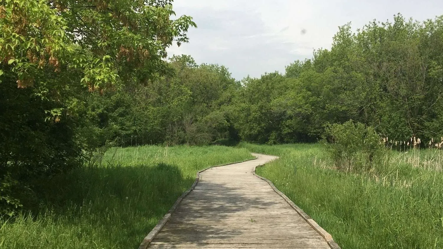
The Marengo Moraine was created about 24,000 years ago by the Wisconsin glacier. The ridge is made up of rocks, gravel, sand and finer sediments that were carried within or pushed ahead of the ice sheet as it advanced and left behind as it melted. Where the ice melted and advanced at an equal rate, the debris piled up at the glacier’s leading edge. The result is a deposit that is up to 280 feet deep, several miles wide and 40 miles long. At its highest point, the ridge stands 1,050 above sea level. In Marengo Ridge Conservation Area, the area around Shelter #2 offers excellent vantage points for surveying the geological history of the area.
As innovative protectors and stewards of the land since 1963, Openlands exists to create access to nature for all. Through local alliances, forward vision, and persistent action, Openlands connects and leads conservation work, serving as a guiding voice for communities, organizations, and more effective policy in northeastern Illinois and the surrounding region.