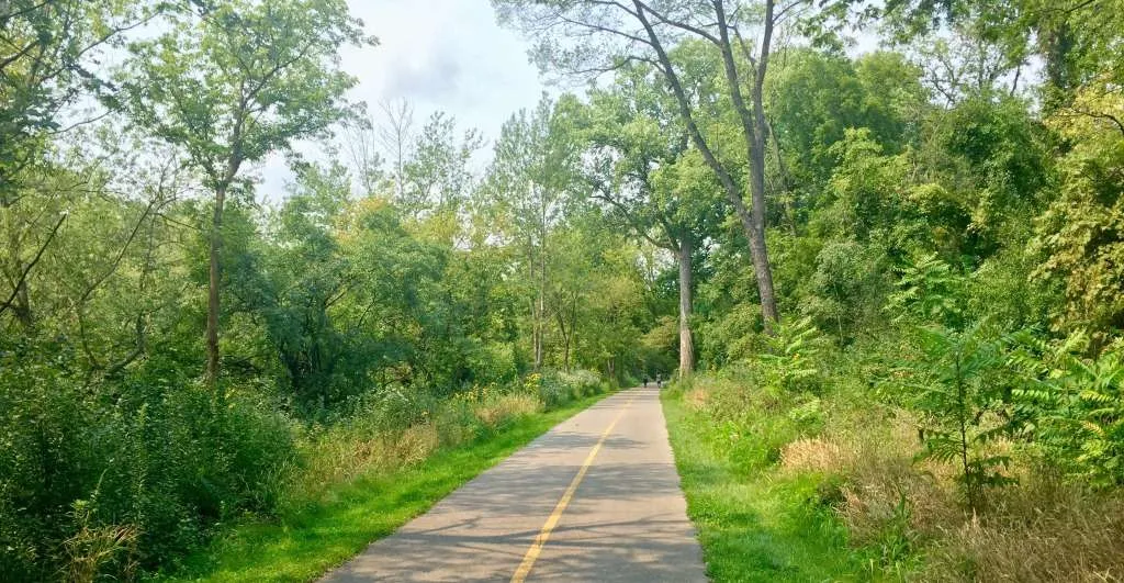
Put-In Parking Directions: Turn east from York Road onto Canterbury Lane and follow the quiet road for approximately 1/3 of a mile to the Dean Nature Sanctuary on the south side of the street. Be advised that Canterbury Lane is a high traffic route for bicyclists.
Trail Take Out: The Plank Road Meadow Boat Ramp take-out is on river right (on the Des Plaines River) approximately 200 feet south of the river’s confluence with Salt Creek.
Hazards:
- Approximately .25 mile downstream of the Wolf Road bridge are the remnants of an old dam passable only through the middle of the stream. Low water or debris pile-ups may require portaging.
- Approximately 0.4 mile downstream of the 31st Street Bridge is the Possum Hollow Dam. This low dam is visible only in low water conditions. Paddle through the canoe chute on the river right side of the dam.
- Approximately 0.9 mile after passing under the Maple Avenue bridge, there is a water diversion pipe, which diverts water to the Des Plaines River during high water events. Avoid the diversion area by staying river right.
- Downstream of the second 31st Street bridge, there are two low bridge crossings associated with Brookfield Zoo. During high water events, passing beneath these bridges may be restricted. Portaging may be required.
Alternate Put-in: The Forest Preserve District of Cook County’s Bemis Woods launch site offers an alternate put in. This can be accessed from Wolf Road approximately 0.2 miles north of Ogden Avenue. The Bemis Woods parking entrance is on the north side of Ogden Avenue. Follow the road to the western end of the parking lot near the creek and put in by the foot bridge. From this put-in to Plank Road Meadows take-out is approximately 8.5 miles.
Alternate Take-Out: The Brookfield Village Hall Canoe Landing offers an alternative take out. This small, minimally improved landing is about 1/3 mile downstream (south) of the Washington Street Bridge on river-left. Parking is available in the lot behind the Village Hall. Taking out at this location shortens the trail to approximately 8.5 miles. Putting in at Bemis Woods launch site and taking out as Brookfield Village Hall shortens the trail to approximately 8 miles.
Notes: This trip passes through Cook County Forest Preserves and through the west side of Brookfield Zoo. There is no access to the zoo from the water trail.
Please respect the privacy of riparian landowners—no landing on private property.


2 thoughts on “Dean Nature Sanctuary to Plank Road Meadow”
7/21/24: the creek is completely blocked from storm tree debris at the railroad bridge just south of Brookfield Ave. Exit at the Brookfield Park District Canoe Landing to avoid.
Paddled this route on March 10th, 2025. Gage height at Salt Creek at Elmhurst was 5.63 ft. This was a near perfect height & flow – I only scraped bottom a couple times the whole trip. This creek height allowed me to pass over large rocks, but still have visibility to such rocks. No issue with low bridges. Made sure to go around the Possum Hollow Dam. No tree or debris blockages.
Bemis Woods North was closed for the season, which forced me to put in at Dean Nature Sanctuary. This is a fine put in, but since the Salt Creek Trail was closed for construction at I-294, it made the bike shuttle back much longer (I had to bike over I-294 on 31st).
Not too much wildlife except for some mating geese and mallards. Looking forward to taking this trip again once the plant life comes in!