Share

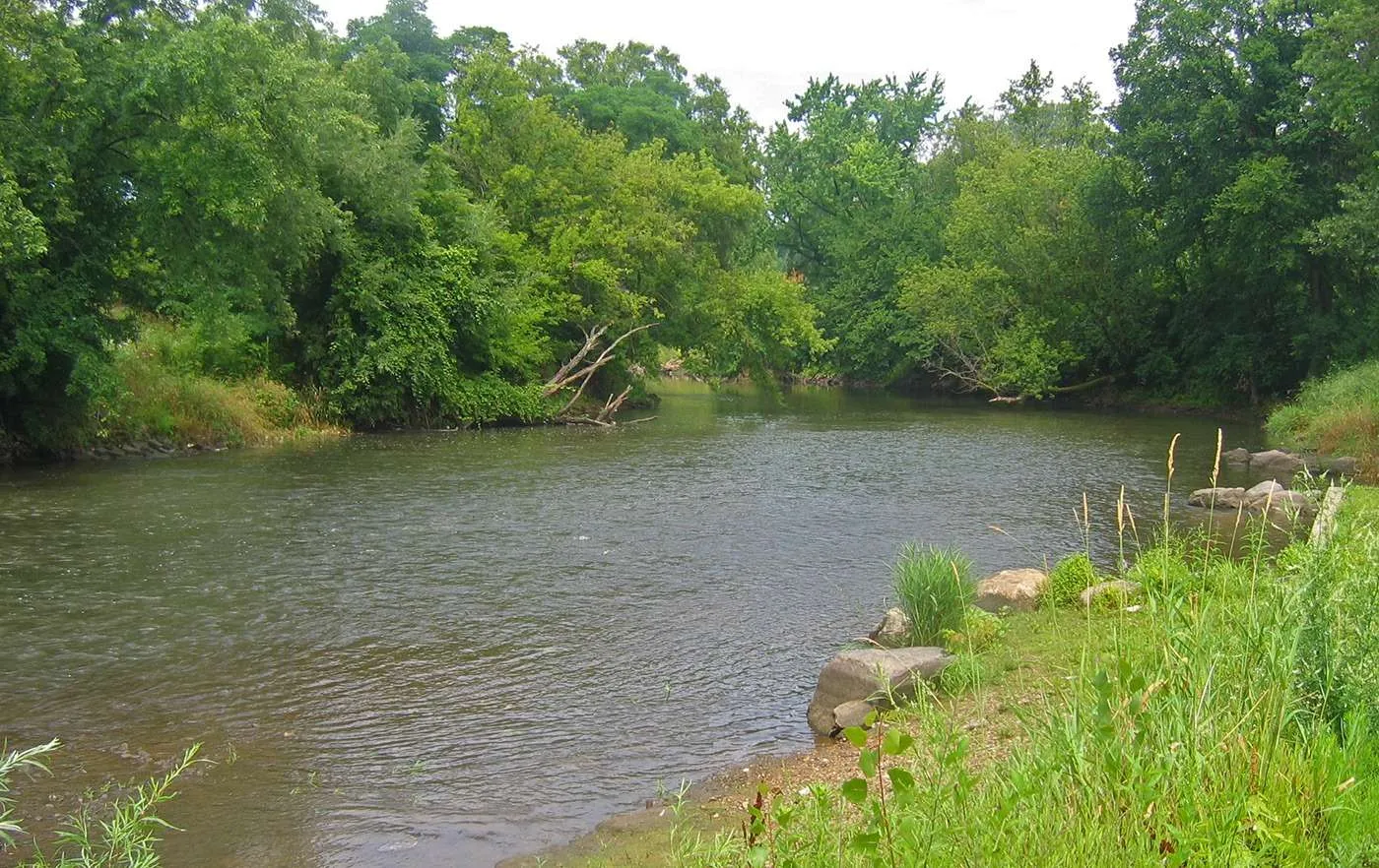
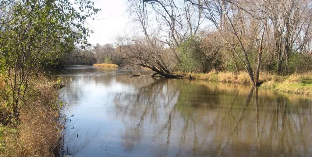
Kishwaukee River Trails

The Kishwaukee is a beautiful river that offers some of the highest quality aquatic habitat in northeast Illinois. The river is home to over 1,000 species of plants, 59 species of fish, and 28 endangered species including the Sandhill Crane, Speckled Adler, and Mulberry-Winged Butterfly. Rabbits, woodchuck, and herons are common sights along the river, and river otters recently began inhabiting the region.

Share

The Main Branch of the Kishwaukee flows east-west and is approximately 63 miles long. The river begins as a small, wetland stream in Woodstock and ends at its confluence with the Rock River, south of Rockford. The entirety of the river’s watershed covers 1,257 square miles, spreading across McHenry, Boone, Winnebago, Ogle, DeKalb, and Kane counties. Most of the watershed area is currently used for agriculture.

From the east, the waterway’s first launch site is located at Siems Memorial Park on the river’s south branch. Water then flows towards Marengo near the border of McHenry and Boone Counties. Paddle the Kish in Marengo is a volunteer group working to keep the river accessible and navigable there. Further downstream, the river flows west through Redhorse Bend, after which non-motorized launches are located every three to five miles. The Belvidere Park Dam, located within Belvidere Municipal Park must be portaged on the left/south side of the dam. Launch sites are provided by the Boone County Conservation District, the Belvidere Park District, and the Winnebago County Forest Preserve District.

Much has been done in the last 20 years to ensure continued protection of the Kishwaukee. In 1996, The Kishwaukee River Ecosystem Partnership was founded to preserve the river’s natural resources.

Scroll to Top

This Earth Month, we’re inviting you to go All In for Nature with Openlands.

Every donation will be matched up to $50,000. That means your gift goes twice as far to protect the natural spaces we cherish close to home.