About Kankakee River State Park
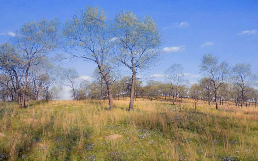
The 4,000-acre park extends along both sides of the Kankakee River offering unspoiled settings that are surrounded by scenic bluffs and woods. The park includes hiking trails, biking trails, canoeing, fishing, camping, cross-country skiing, snowmobile trails, picnic areas, hunting, boat launches, and much more! In addition there are several shelters available for picnic events.
Several prehistoric sites are documented within Kankakee River State Park. The park is within a region used by Illini and Miami Indians at the time of the first European contact in the 1670s and 1680s. By 1685, the Miami were sufficiently numerous that the Kankakee River was called the River of the Miami. Kickapoo and Mascouten also were in the region from 1679 until the 1760s. Potawatomi Indians hunted along the Kankakee River in the 1760s, and by the 1770s the Potawatomi, Ottawa and Chippewa nations – “The Three Fires” – dominated the area. The most extensive village was “Rock Village” or “Little Rock Village” inside the present-day park near the mouth of Rock Creek. In 1830, it was the site of the last great Indian Council. Following the Black Hawk War in 1832, the Potawatomi ceded all of their land along the Kankakee and Illinois rivers to the United States. Most Potawatomi left the area by the end of the decade, except for Chief Shaw-waw-nas-see, whose grave is commemorated by a boulder along the nature trail at Rock Creek.
More to Explore in Kankakee County, IL