

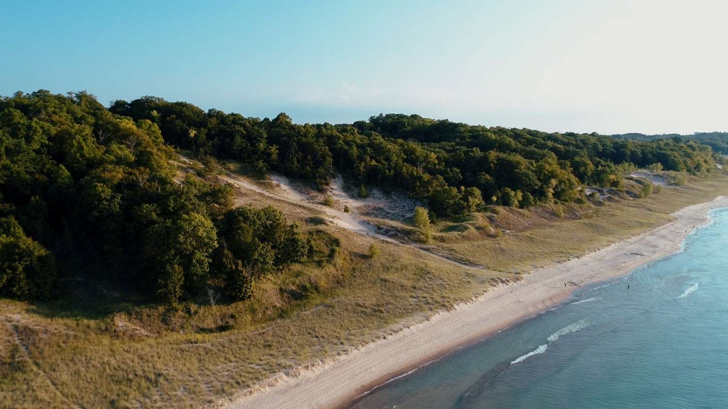

This short paved trail features the Calumet Dunes ridge, which was the shoreline of Lake Michigan over 12,000 years ago. The lake has slowly receded over time, forming three major parallel dune ridges: Glenwood (640′ above sea level), Calumet (620′ above sea level) and Tolleston (605′ above sea level). The current lake level is approximately 580′ above sea level. U.S. Highway 12 follows the high ground of the Tolleston Dunes ridge in this area, just north of the Calumet Dunes Trail.