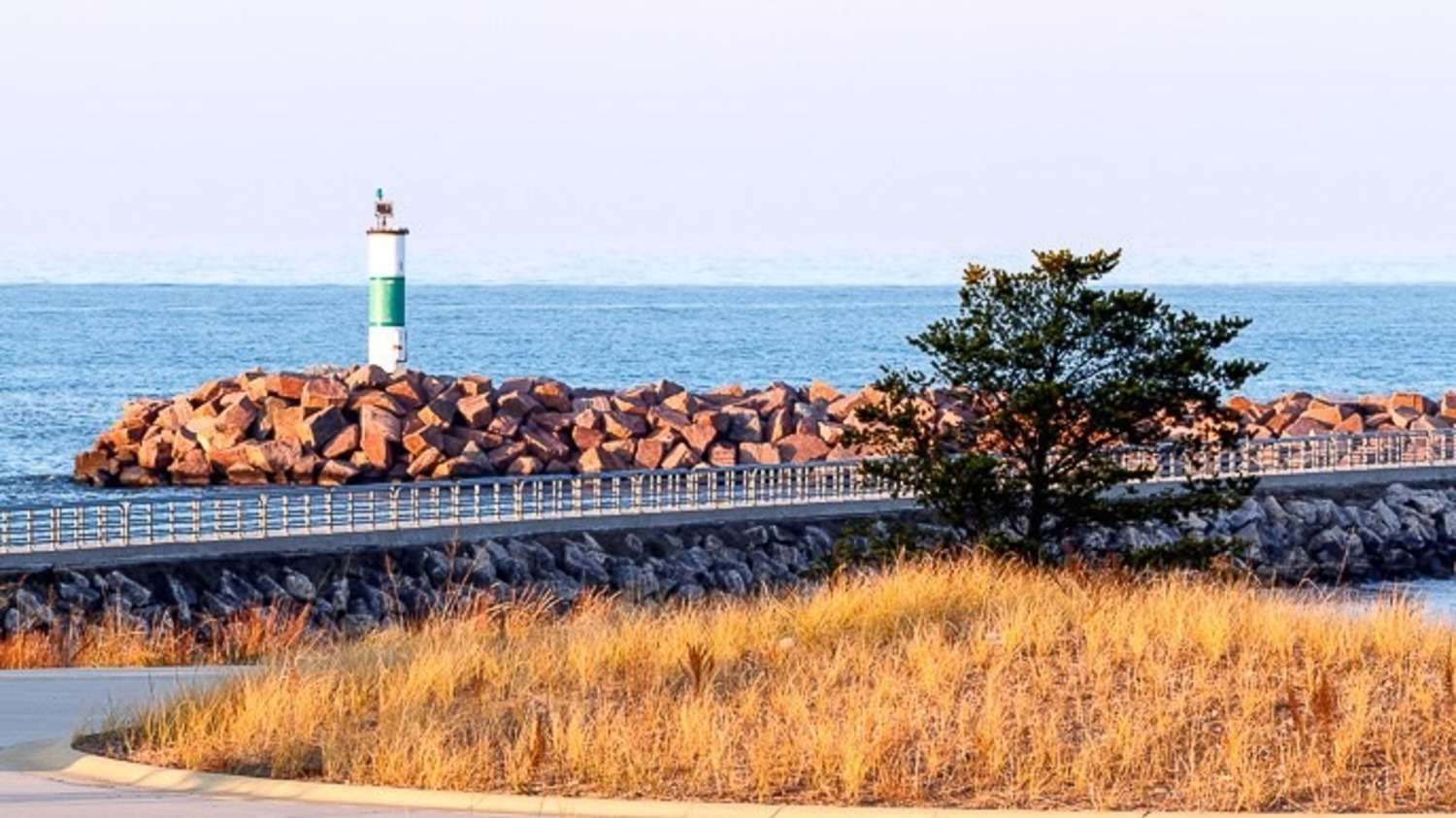
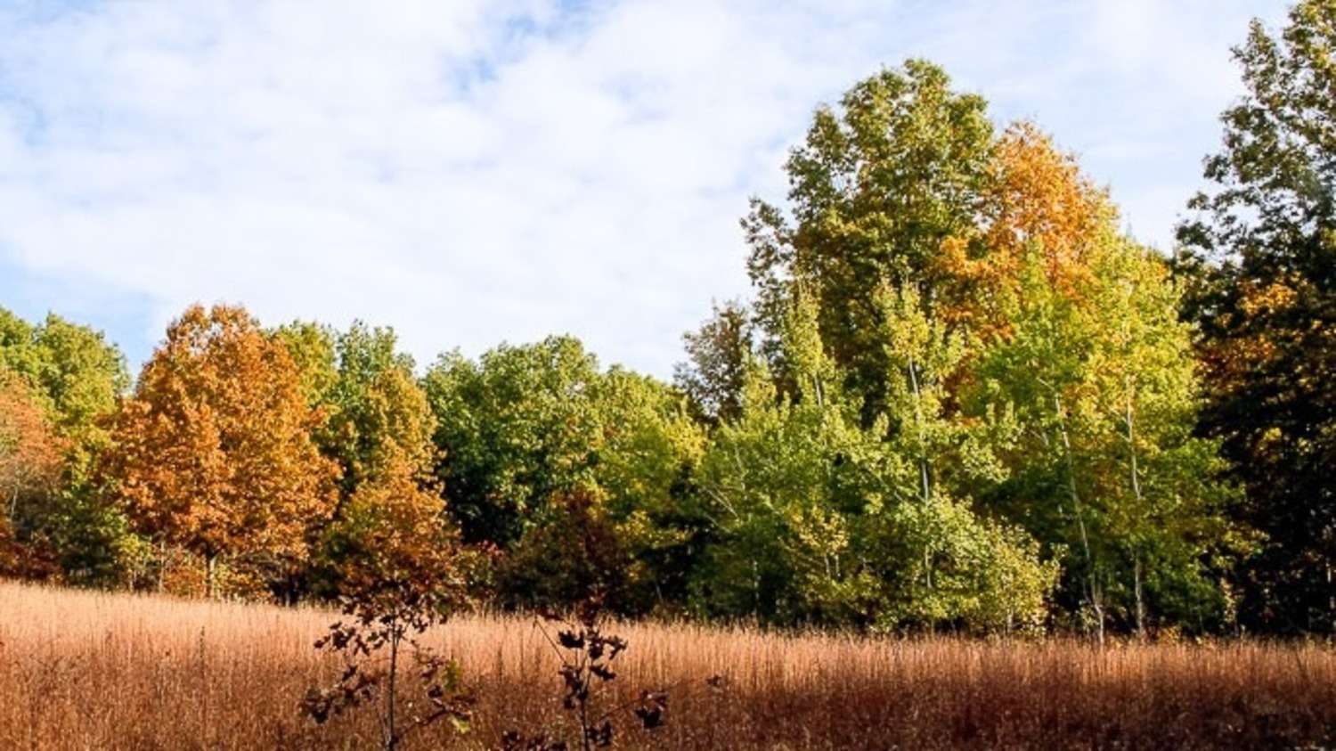
This short paved trail features the Calumet Dunes ridge, which was the shoreline of Lake Michigan over 12,000 years ago. The lake has slowly receded over time, forming three major parallel dune ridges: Glenwood (640′ above sea level), Calumet (620′ above sea level) and Tolleston (605′ above sea level). The current lake level is approximately 580′ above sea level. U.S. Highway 12 follows the high ground of the Tolleston Dunes ridge in this area, just north of the Calumet Dunes Trail.
As innovative protectors and stewards of the land since 1963, Openlands exists to create access to nature for all. Through local alliances, forward vision, and persistent action, Openlands connects and leads conservation work, serving as a guiding voice for communities, organizations, and more effective policy in northeastern Illinois and the surrounding region.