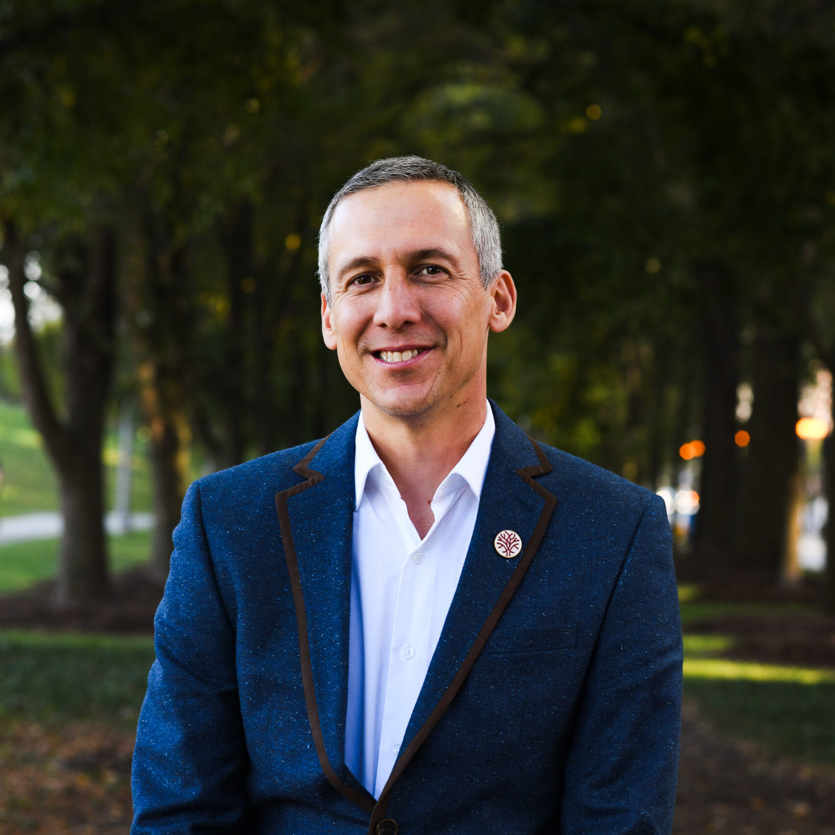
Craig supports Openlands as Geographic Information System (GIS) Analyst where he provides mapping support throughout the organization. With 25 years of experience in GIS, Craig brings expertise in applying spatial data both locally and regionally to highlight our opportunities, challenges, and successes.
Before joining Openlands, he worked at a variety of regional planning organizations where he performed a similar role. Craig holds a master of community and regional planning degree with a specialization in GIS from the University of Oregon.
Passionate about clean air and water, Craig is known for his appreciation of both the wonderful, accessible outdoor spaces of our region and the work it took to create them.
Favorite Place to Get Outside- he enjoys exploring sites along the shore like the Burnham Wildlife Corridor and the Indiana Dunes and is actively involved in helping others experience and enjoy such places.
Contact Information
- Email: cshillinglaw@openlands.org
- Phone: 312.863.6270